



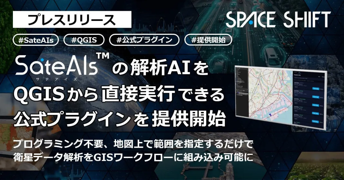
Space Shift Launches Official QGIS Plugin for Seamless SateAIs Data Analysis
Space Shift Launches Official QGIS Plugin for SateAIs
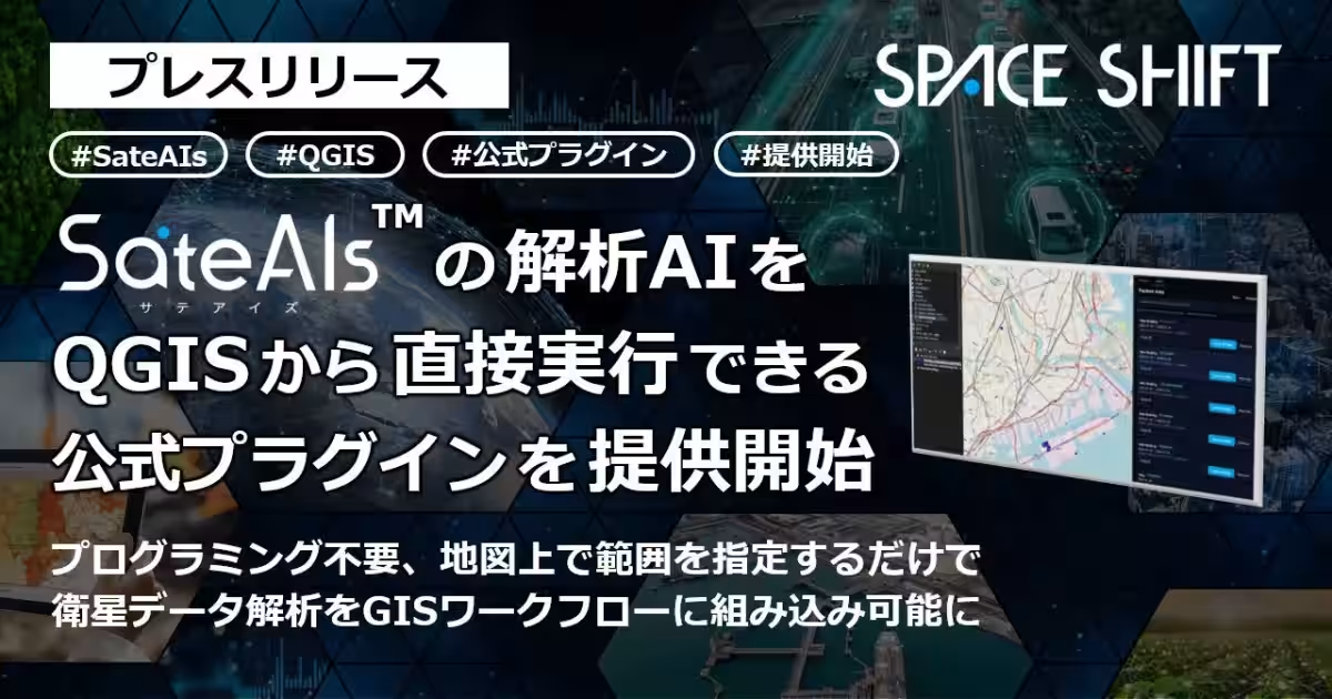
Space Shift, based in Chiyoda, Tokyo, has made a significant advancement in satellite data analysis by introducing an official plugin for QGIS called the "SateAIs API for QGIS." This new tool empowers users to conduct satellite data analysis directly within QGIS—a commonly used Geographic Information System (GIS) software—without needing extensive programming expertise.
About the Plugin
The SateAIs API is designed for seamless integration and is available for free installation from the official QGIS plugin repository. Users can perform data analysis by merely specifying a region on the map, allowing them to avoid the often cumbersome processes of data downloading and transformation. This capability simplifies the visitor experience, enabling effective analysis from data input to result visualization all within the QGIS environment.
This launch follows the beta release of the SateAIs API in April 2026, which allowed self-service access to AI-powered satellite data analysis. In July, the company also released an official Software Development Kit (SDK) compatible with Python, JavaScript, and TypeScript, along with a CLI version. With this latest plugin, professionals in municipalities, construction, mapping, and research fields can leverage satellite data analysis in their daily operations using the tools they are familiar with.
Features of the SateAIs API for QGIS
Easy Analysis Execution
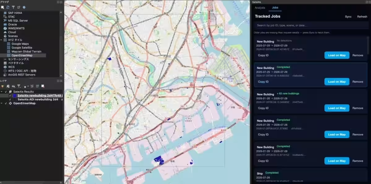
With the dedicated panel added to QGIS, users can select the type of analysis needed and simply draw a region on the map to initiate the analysis. This feature provides an intuitive way to engage with satellite data, making it accessible to non-specialists.
Direct Result Access
The analysis results are automatically sorted into vector layers that are color-coded based on the type of detection and added to a specified group within QGIS. Users can easily zoom into the detection points and blend these results with existing GIS data for comprehensive analysis.
Continuity During Analysis
The plugin executes analyses asynchronously, enabling users to continue working on other tasks in QGIS even while waiting for results. Imported jobs from the console or CLI are synced, allowing for centralized management of all tasks right within the QGIS interface.
Simple Installation and Setup
To leverage the SateAIs API for QGIS, users can follow a straightforward setup process:
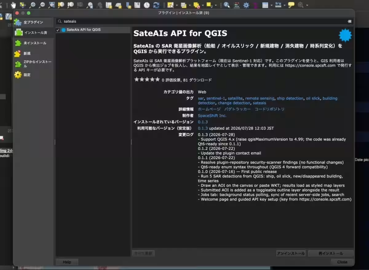
1. Install the Plugin - Search for "SateAIs" in the plugin management screen of QGIS and install it.
2. Register your API Key - Create an account on the SateAIs API Console to generate your unique API key and enter this in the plugin settings.
3. Execute the Analysis - Specify the region on the map and execute the analysis. Once completed, users can import results as layers directly onto the map.
Supported Analyses
The plugin supports a variety of analyses based on the same menu available through the SateAIs API, specifically utilizing data from the Sentinel-1 satellites. Some of the key analytical features include:
- - Ship Detection AI: Detects the position and size of vessels using SAR images.
- - Oil Slick Detection AI: Identifies oil spills on the ocean surface.
- - Building Detection AI (New): Identifies newly constructed buildings within a specified timeframe.
- - Building Detection AI (Demolition): Detects buildings that have been demolished over a set period.
- - Time Series Change Detection AI: Monitors changes in land surface over time.
More analyses may be added or adjusted in upcoming updates, and the latest information can be found on the QGIS official plugin page or GitHub repository.
Future Developments
Looking ahead, Space Shift aims to continually enhance the SateAIs API as a core channel for satellite data analysis. Future efforts will include expanding compatible GIS software and diversifying satellite and analysis options to foster a more inclusive environment for professionals across various sectors to utilize satellite data within their workflows.
About Space Shift
Founded in December 2009, Space Shift is committed to the mantra, "Sense the Unseen from Orbit," focusing on the development of AIs that analyze data gathered from Earth observation satellites. Offering a range of data analysis packages—catering to sectors such as infrastructure management, disaster prevention, agriculture, and environmental conservation—its flagship brand, SateAIs, aims at making satellite data analysis widely accessible. Additionally, the company promotes sustainable societal development through the SateBiz co-creation program.
For more information, visit:
For media inquiries, please contact:
Space Shift Inc., (Attn: Takeuchi,Majima)
Contact Us
Email: [email protected].
Topics Consumer Technology)
【About Using Articles】
You can freely use the title and article content by linking to the page where the article is posted.
※ Images cannot be used.
【About Links】
Links are free to use.