



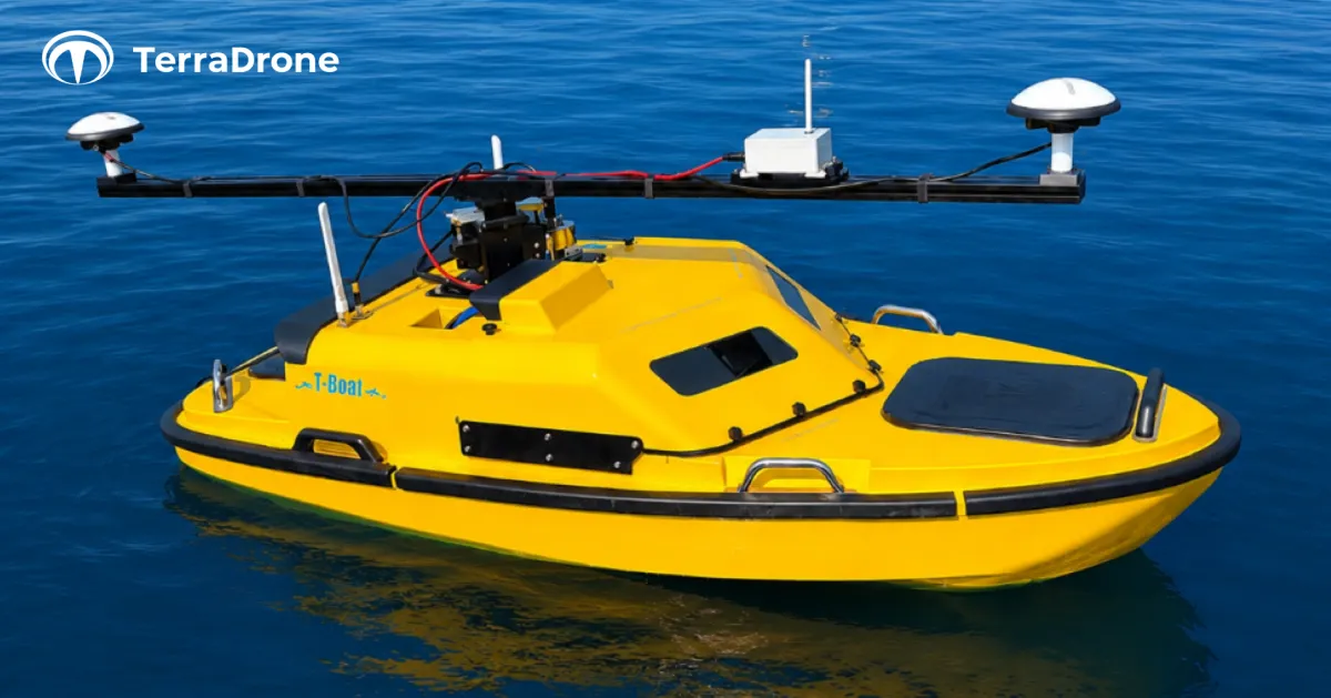
Terra Drone Introduces Advanced Automatic Navigation Boat for Underwater 3D Surveying
Terra Drone's New Automatic Navigation Boat for 3D Underwater Surveying
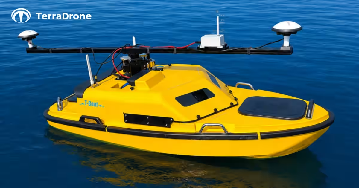
Terra Drone Corporation, headquartered in Shibuya, Tokyo, has proudly announced the introduction of its advanced automatic navigation boat, the T-Boat 500, equipped with a multi-beam sonar system, the SeaBat T20. This cutting-edge equipment is designed to facilitate precise 3D surveying of underwater environments, marking a significant advancement in surveying technology. Starting from September, the T-Boat 500 will commence full-scale operations, promising a one-stop solution for capturing comprehensive 3D point cloud data from land to water.
Background
In recent years, the need for high-precision 3D survey data for infrastructure management, disaster prevention, and environmental research has soared. This demand is largely driven by initiatives like the Ministry of Land, Infrastructure, Transport and Tourism's i-Construction and the increasing adoption of BIM/CIM technologies.
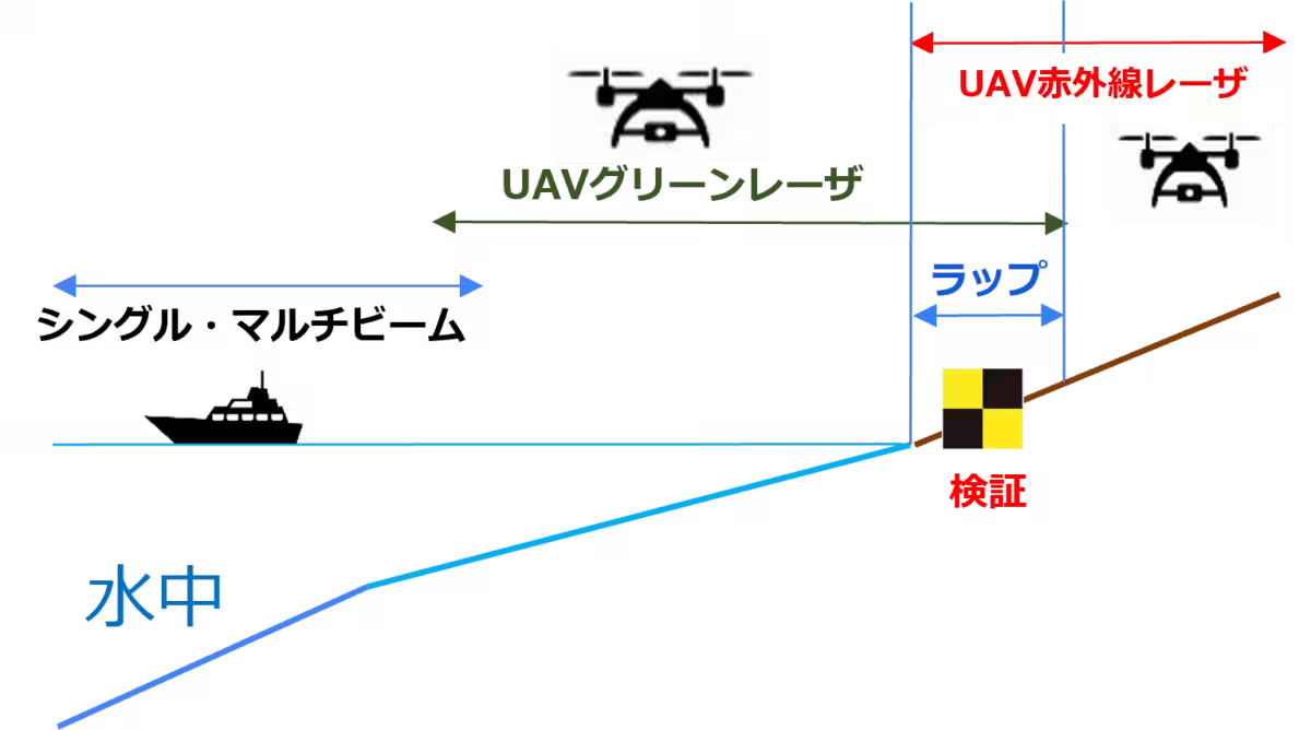
Prior to this introduction, Terra Drone primarily offered UAV infrared laser measurements for land and UAV green laser services for shallow water. However, in turbid water or deep environments, capturing reliable 3D point cloud data has proven challenging with traditional UAV green lasers, posing significant risks of data gaps. To resolve these issues and enhance data collection across varied environmental conditions, Terra Drone has integrated a multi-beam sonar system that ensures accurate measurements even in difficult underwater settings.
Features of the New Equipment
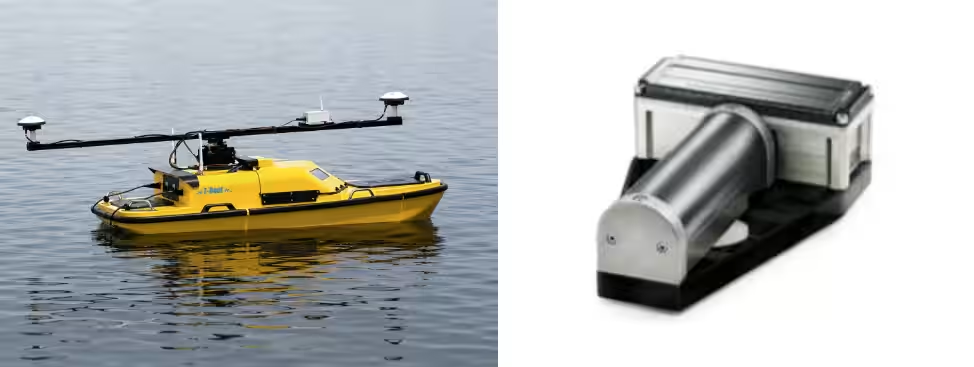
The multi-beam sonar operates by utilizing sound waves for 3D measurement in environments where laser light cannot effectively penetrate. Mounted on specialized automatic navigation boats, this sonar system emits waves in a fan-shape, allowing for the simultaneous measurement of extensive underwater topographies.
*Left: Automatic Navigation Boat
Topics Consumer Products & Retail)
【About Using Articles】
You can freely use the title and article content by linking to the page where the article is posted.
※ Images cannot be used.
【About Links】
Links are free to use.