


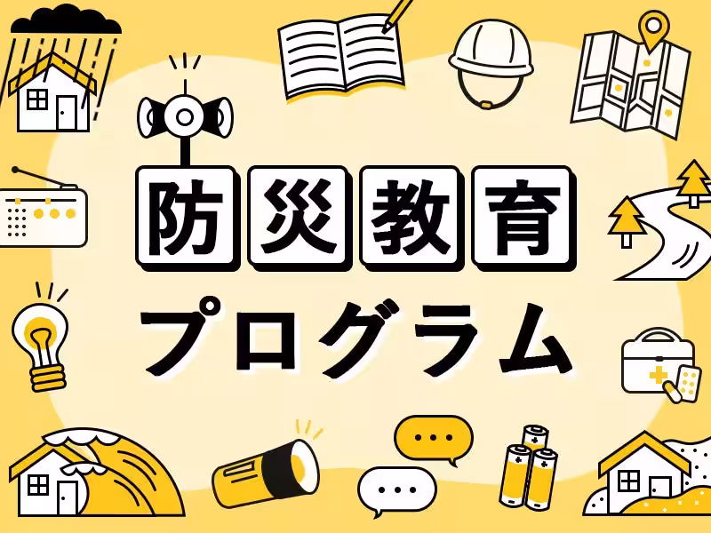
Next-Generation Disaster Preparedness Education Program Launches in Hiroshima High School
Next-Generation Disaster Preparedness Education Program
In a critical effort to bolster community disaster resilience, Pacific Consultants Inc., headquartered in Chiyoda, Tokyo, is rolling out a practical disaster preparedness education program for first-year students at Hiroshima City Motomachi High School. This initiative aims to eliminate the risk of delayed evacuations during flooding by equipping students with the essential skills to identify disaster risks within their living environments and make informed evacuation decisions as their personal responsibility.
The program incorporates real hazard maps to guide lectures and workshops, intending to spread disaster awareness beyond the school and into students' homes and communities. Hiroshima Prefecture has a history of significant rain and landslides, repeatedly highlighting the societal importance of disaster preparedness and evacuation protocols. Given the proximity of mountainous regions to urban areas in Hiroshima, disaster risks are a tangible part of daily life. Empowering the younger generation with decision-making abilities can greatly elevate regional disaster preparedness.
This initiative not only aims to pass on the lessons learned from past disasters but also explores the practical approaches needed for community-oriented disaster education relevant to today's circumstances.
Program Details (Available for Media Coverage)
Objective: Aim for zero delayed evacuations during floods through practical disaster education.
Target Group: First-year students of Hiroshima City Motomachi High School.
Format: A combination of lectures and workshops over two days (6th period 14:20-15:10, each 50 minutes).
Schedule:
- - Session 1: May 20, 2026 (Wednesday) - Introduction and lecture.
- - Session 2: May 27, 2026 (Wednesday) - Workshop.
- - Understanding the topographical characteristics of Hiroshima and associated flood and landslide risks.
- - Accurate interpretation of disaster information and alert levels (1-5).
- - Risk assessment of daily life areas using hazard maps.
- - Creation of a

Topics Other)


【About Using Articles】
You can freely use the title and article content by linking to the page where the article is posted.
※ Images cannot be used.
【About Links】
Links are free to use.