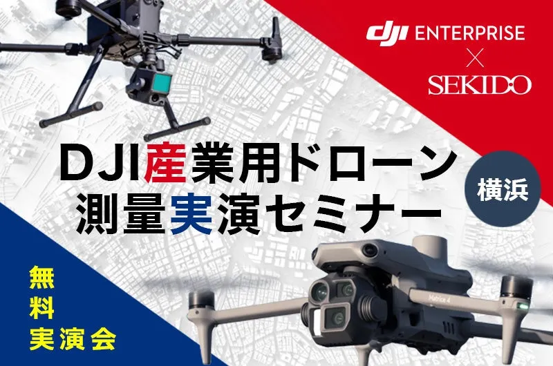
Experience and Compare Cutting-Edge Surveying Technology in One Day at Yokohama!


Discover the Latest in Drone Surveying Technology
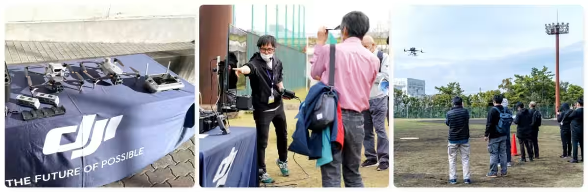
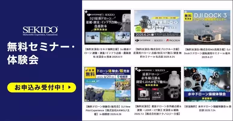
On June 27, 2025, Sekido Corporation, a leading authorized DJI reseller, invites you to a complimentary hands-on seminar in Yokohama focused on drone surveying operations. Scheduled to begin at 2 PM at the Sekido DJI Yokohama Drone Training Center, this seminar will offer an in-depth look into the latest compact commercial drones that leverage AI for increased efficiency.
Attendees will have the opportunity to see firsthand demonstrations of DJI's flagship industrial drones equipped with cutting-edge LiDAR modules, cameras, handheld 3D scanners, and GNSS rovers. In a specially designed demo flight that simulates real surveying environments, participants can view actual captured data, and learn about successful implementation cases utilizing subsidies and other support systems. This popular seminar has received positive feedback from industry professionals, municipal authorities, and infrastructure representatives. Everyone interested in enhancing their surveying, civil engineering, and construction operations is encouraged to participate.
Addressing Concerns about Drone Surveying with Extensive Implementation Experience
As drone technology becomes essential for efficient aerial photography, LiDAR measurements, and other surveying tasks, Sekido provides comprehensive support through partnerships with local dealers. They aim to promote the integration of drones into surveying operations, ensuring that users can count on safe, precise, and efficient practices while benefiting from a broad range of services, from equipment display to demonstration flights at no cost.
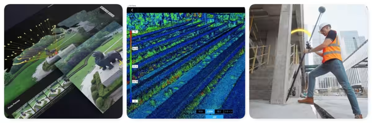
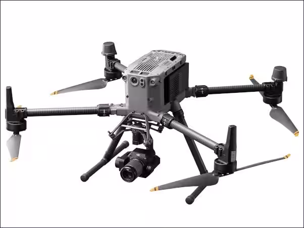
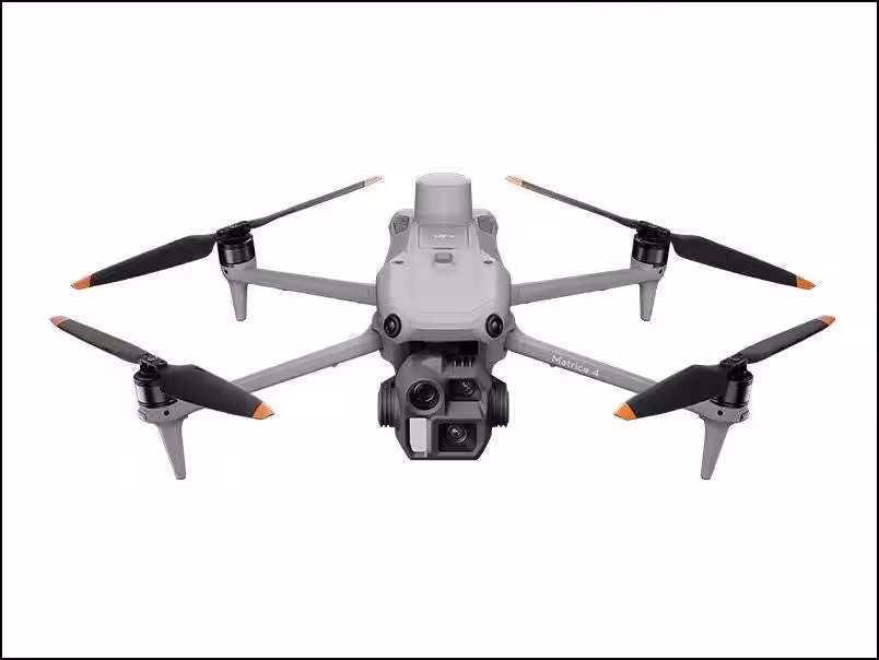
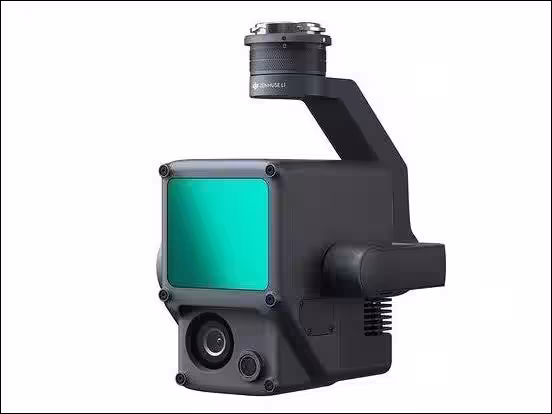
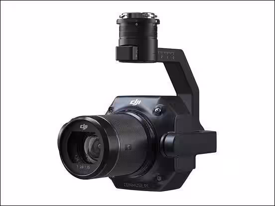
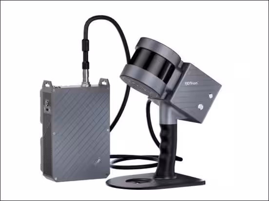
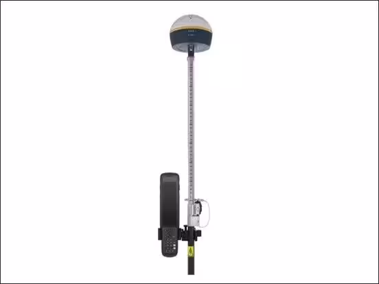
During the seminar, participants will explore the Matrice 4E drone, renowned for its portability and suitability for various surveying tasks, alongside the Matrice 350 RTK. The latter is ideal for high-precision data collection required in construction and BIM/CIM projects, supported by the advanced LiDAR module, the Zenmuse L2, and the full-frame sensor camera, the Zenmuse P1. Knowledgeable specialists will be on hand to guide attendees through these technologies, including the critical handheld 3D scanner, FJD Trion S1, and the GNSS rover, ensuring an education experience conducive to informed decision-making.
Who Should Attend?
This seminar is tailored for:
- - Construction and surveying personnel aiming to improve operational efficiency and accuracy.
- - Technicians and companies new to drone surveying and seeking advice on suitable systems.
- - Corporations considering innovations in LiDAR, GNSS rovers, and 3D scanners.
- - Businesses interested in introducing surveying equipment utilizing available grants.
- - Representatives from public sectors or municipalities exploring drone technology for administrative functions.
Event Details
- - Date: June 27, 2025 (Friday)
- - Time: 2:00 PM - 4:00 PM (Registration starts at 1:50 PM)
- - Location: Sekido DJI Yokohama Drone Training Center, 1-5-2 Fukuura, Kanazawa-ku, Yokohama, 236-0004, Japan
- - Capacity: 20 people (Registration closes once capacity is reached)
- - Cost: Free
Registration and Participation
Participants will gain insights on:
- - The role of drones in contemporary surveying.
- - Introduction to surveying drones.
- - Live demonstration flight (may be canceled due to weather).
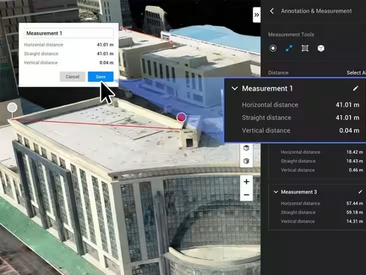
- - Data analysis using DJI Terra software.
- - Overview of related solutions and possible subsidies for equipment acquisition.
We also invite media professionals to cover the event, with opportunities for interviews, photography, and video recordings available on-site. If you wish to participate as media, please notify us through the registration form.
To register, please visit: Registration Link
With only 20 spots available, we encourage you to sign up as soon as possible to secure your place.
Target Technologies Featured:
- - DJI MATRICE 4E: Designed for spatial measurement applications like surveying and mapping, equipped with a wide-angle camera, zoom lens, and laser rangefinder.
- - DJI MATRICE 350 RTK: This advanced drone establishes new standards in commercial operations, with enhanced transmission systems and powerful payload capacities.
- - DJI ZENMUSE L2: Combining high-precision LiDAR with a reliable IMU, it provides a robust solution for aerial surveys.
- - DJI ZENMUSE P1: A high-resolution camera designed for aerial mapping.
- - DJI TERRA: An intuitive mapping software for analyzing and visualizing environmental data.
- - FJD Trion S1: A sophisticated 3D scanner with real-time display capabilities.
- - FJD Trion V1/V1t RTK Rover: A high-precision GNSS receiver that supports multiple satellite systems.
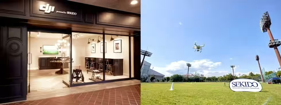
Sekido has established itself as a leader in drone sales and support services within Japan. We partner with over 45,000 businesses and government agencies nationwide and continue to advance drone technology across various sectors. Join us as we explore how drone technology can revolutionize operational efficiency in surveying and construction.
Topics Consumer Technology)
【About Using Articles】
You can freely use the title and article content by linking to the page where the article is posted.
※ Images cannot be used.
【About Links】
Links are free to use.