


Introducing the Reach RX2: The Ultimate Ultra-Compact GNSS Receiver
Introducing the Reach RX2
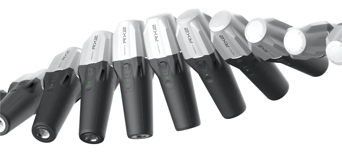
Pix4D Corporation, the official distributor of EmlidTech Kft. in Japan, is proud to announce the domestic release of the Reach RX2, the latest model of the ultra-compact GNSS receiver, succeeding the highly regarded Reach RX.
With the philosophy of “high precision for everyone,” Emlid has achieved remarkable portability with the Reach RX, a dedicated network RTK device. The new Reach RX2 not only carries on this usability but also introduces multi-frequency capabilities (L1/L2/L5, with L6 planned) and an IMU tilt correction feature. This evolution enhances the device to withstand harsh environmental conditions while providing faster and more accurate results, tailored for professionals.
Key Specifications and Features of Reach RX2
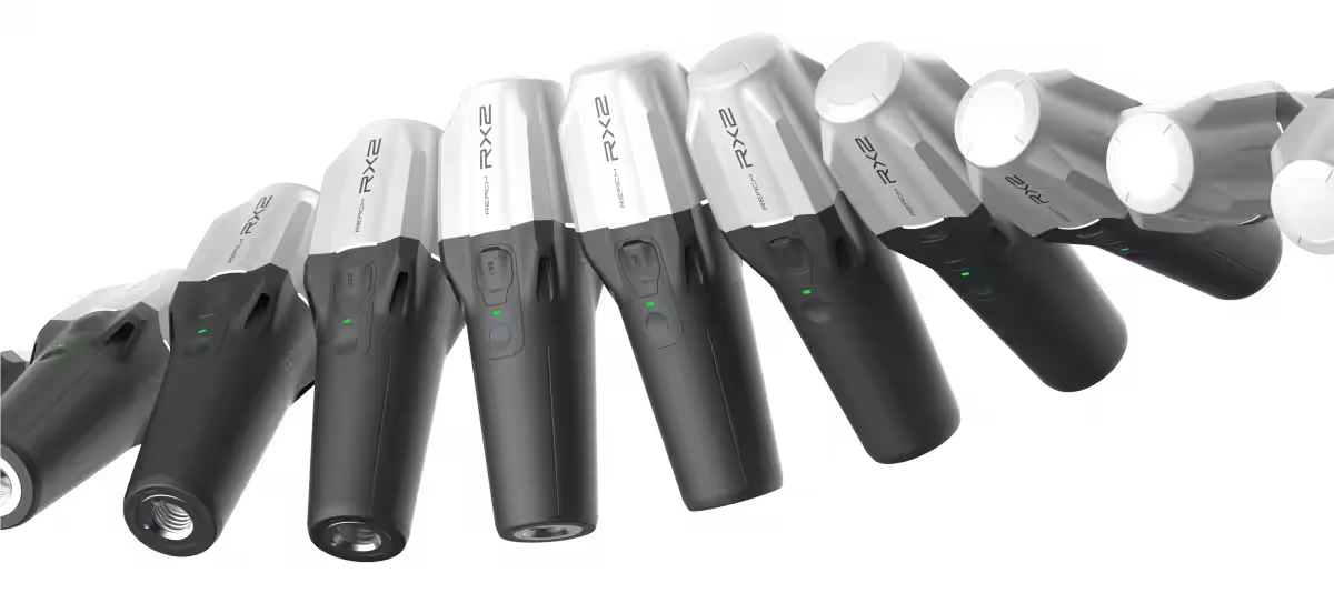
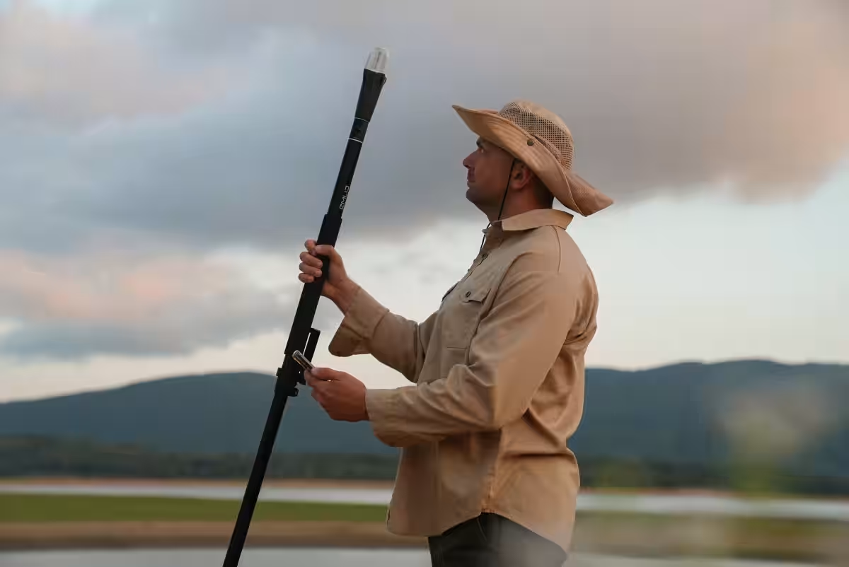
The Reach RX2 is compact, even smaller and lighter than a standard plastic water bottle, incorporating the latest in positioning technology.
1. Unmatched Portability: Standing at just 172mm tall and weighing a mere 280g, this device is ideal for lengthy field operations without causing fatigue.
2. Multi-Frequency and Multi-Channel Support: The device is compatible with L1/L2/L5 frequencies, with future updates planned to include L6 (CLAS).
3. Calibration-Free Tilt Correction: With an embedded IMU, the RX2 can operate accurately at tilts of up to 60 degrees without the need for calibration.
4. Robustness and Extended Use: IP68 rated for dust and water resistance, the RX2 can operate for approximately 16 hours on a single charge, equating to two full days of work.
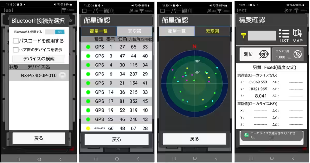
5. Flexible App Integration: Compatible with both iOS and Android, the device can seamlessly work with key applications like PIX4Dcatch and Kai-sei Navi.
Evolution in Three Key Aspects
1. Dramatic Improvement in Positioning Stability
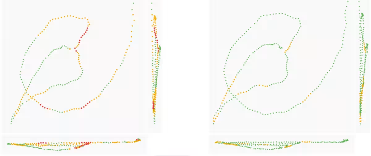
The Reach RX2 has been upgraded from the Reach RX's 184 channels to a robust 672 channels, now supporting L1/L2/L5. This enhancement in signal reception capability drastically improves RTK fix rate and stability, even in challenging environments such as urban areas or mountainous regions.
2. Game-Changing IMU Tilt Correction
The introduction of a calibration-free IMU tilt correction feature allows users to maintain accuracy even when the antenna is tilted. This offers several on-site advantages:
- - Speed of Measurement: Eliminates the need for vertical alignment, enabling rapid and efficient measurements at multiple points.
- - Obstacle Navigation: Users can tilt the receiver towards open skies to optimize signal reception when obstructions are present.
- - Access to Tough Locations: Users can obtain precise coordinates even in difficult terrains by simply angling the pole.
3. Seamless Ecosystem with Industry-Standard Applications
The RX2 boasts high compatibility with both Emlid’s proprietary apps and major third-party applications. For instance:
- - PIX4Dcatch: This app allows the acquisition of point cloud data with RTK accuracy and incorporates the latest 3D Gaussian Splatting technology, enabling incredibly realistic 3D models.
- - Kai-sei Navi (K Construction Co.): This app receives coordinates adjusted for tilt directly, drastically reducing workload in ICT construction processes, thereby enhancing overall productivity on site.
The launch of the Reach RX2 redefines accessibility to professional features like multi-frequency support and tilt correction that previously required expensive equipment and complex settings, all within an incredibly portable unit.
At PIX4D, we remain dedicated to merging Emlid's groundbreaking hardware with our advanced software solutions to continually address the challenges faced by field professionals in surveying, construction, infrastructure inspections, and the creation of contemporary 3D digital twins.
Purchase Information
Users interested in Emlid products, including the PIX4Dcatch software, can acquire these through PIX4D or authorized domestic dealers. For detailed inquiries, demonstrations, or quotes, please contact us through the links provided:
About Emlid and Pix4D Corporation
Emlid is a leader in the RTK and GNSS technology sector, developing products that enable high-precision surveying and geospatial data acquisition. Their tools are highly cost-effective and have contributed to the spread of surveying technology across commercial and academic fields, allowing for efficient data collection in various sectors including construction, disaster response, mapping, agriculture, and environmental monitoring.
Pix4D is the leading company in photogrammetry (photo measurement and SfM software). Established in 2011, we focus on research and innovation, with a team of scientists, engineers, and photogrammetry experts paving the way for the future of photogrammetry technology. Our solutions enable the generation of high-precision 3D models and maps from images taken with drones and cameras, used across diverse fields including construction, surveying, agriculture, and disaster relief. With our headquarters in Lausanne, Switzerland, we have expanded our office presence in Denver, Berlin, Madrid, Bucharest, and Tokyo since opening our Tokyo office in 2019 to enhance our service in the Japanese market.
Topics Consumer Technology)

【About Using Articles】
You can freely use the title and article content by linking to the page where the article is posted.
※ Images cannot be used.
【About Links】
Links are free to use.