


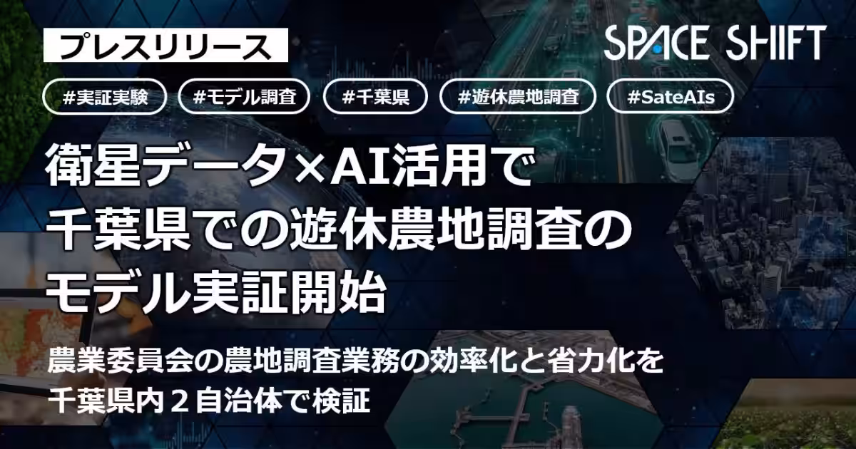
Space Shift Initiates Pioneer Project for Monitoring Abandoned Farmland in Chiba
Introduction
In a significant step towards modernizing agriculture, Space Shift Inc., based in Tokyo, has launched a remote sensing initiative in collaboration with the Chiba Prefectural Government. This innovative project utilizes satellite data and artificial intelligence to conduct surveys on abandoned farmland in specific model areas, particularly in Ichihara City and Narita City.
The Need for Efficient Monitoring
As the number of idle agricultural lands continues to rise, driven by issues such as aging farmers and a lack of successors, Chiba Prefecture faces an urgent need for effective monitoring systems. Currently, an estimated 8,800 hectares of land are categorized as unused, prompting the necessity for a more efficient method than traditional visual inspections conducted by agricultural committees. These inspections often struggle with manpower and time constraints, making the implementation of innovative solutions imperative.
Project Overview
The initiative is dubbed the "Reiwa 8 Remote Sensing Introduction Model Project for Abandoned Agricultural Land," set to run from May 2026 to March 2027. By combining two types of satellites—Synthetic Aperture Radar (SAR) and optical satellites—Space Shift aims to acquire stable data regardless of weather conditions. The data will undergo unique AI analyses to locate and visualize underutilized farmland effectively. The project has several core objectives:
1. Monitoring and Analysis: Utilize both optical and SAR satellite data for continuous monitoring of the selected areas. AI will analyze this data to provide comprehensive information about potential abandoned farmland.
2. Target Refinement: Following the analysis, the project will narrow down specific parcels of land that require on-site inspections, thus streamlining agricultural committee operations.
3. Data Coordination: The data gleaned from the analysis will be integrated into a specialized support system for agricultural committees, enhancing efficiency.
4. Visual Mapping: Create visual maps linking land parcels with potential farmers to facilitate better matching between landowners and cultivators.
5. Evaluation and Expansion: The project aims to summarize results and explore the feasibility for broader application within Chiba Prefecture.
6. Training Sessions: Host workshops to promote the application of remote sensing technology.
Challenges Addressed
One critical challenge this project aims to resolve is the frequent turnover of agricultural committee members, which can lead to inconsistencies in judgment and difficulties in data handover. By implementing this satellite monitoring solution, Space Shift hopes to establish a more reliable and sustainable framework for managing agricultural land.
Corporate Background
Established in December 2009, Space Shift Inc. is committed to harnessing satellite data to address various societal challenges. With a mission to "Sense the Unseen from Orbit," the firm develops AI technologies that analyze changes occurring on Earth. Their comprehensive satellite data analysis package, SateAIs, is designed for multiple sectors including infrastructure management, disaster prevention, agriculture, and environmental protection. Through initiatives like SateBiz, they aim to promote the creation of sustainable societies using satellite data.
Conclusion
Space Shift’s collaborative effort sets the stage for innovative agricultural practices in Chiba, enabling improved monitoring and management of agricultural lands. As the project unfolds, it promises a roadmap for sustainable agriculture, merging cutting-edge technology with the foundational needs of farming communities.
Topics Consumer Products & Retail)


【About Using Articles】
You can freely use the title and article content by linking to the page where the article is posted.
※ Images cannot be used.
【About Links】
Links are free to use.