


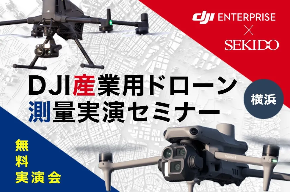
Experience and Compare Three Major Surveying Technologies at a Free Seminar in Yokohama!
Discover the Future of Surveying with Drones
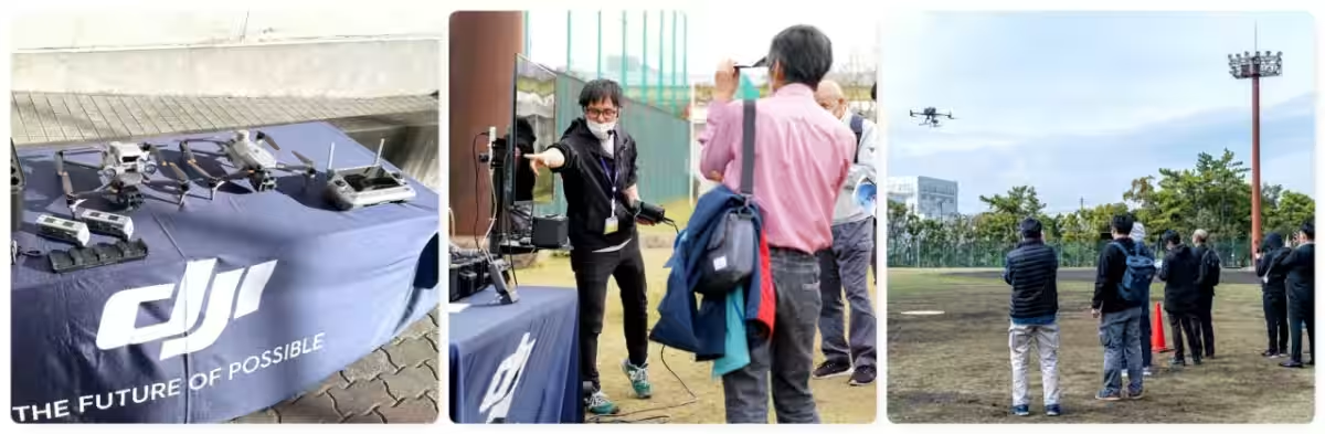
On August 29, 2025, Sekido Co., Ltd., an authorized dealer of DJI products, is hosting a free seminar in Yokohama focusing on drone surveying operations. This event is aimed at showcasing the latest advances in industrial drones designed for surveying, along with practical demonstrations of their capabilities.
What to Expect
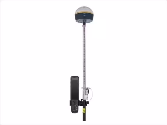
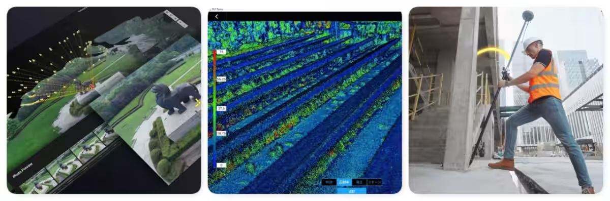
The seminar will feature the newest industrial drones equipped with AI technology for efficient and high-precision data collection. Attendees will have the chance to see live demonstrations of new LiDAR modules, cameras, handheld 3D scanners, and GNSS rovers employed in real-world applications.
Participants can also observe a simulated survey environment where actual aerial data generated by drones will be displayed. Furthermore, the seminar will address how to utilize subsidies and grants for equipment acquisition, making it ideal for those hesitant about implementing these technologies or comparing different surveying methods. This engaging seminar promises a real insight into how drones can enhance operational efficiency in surveying.
Who Should Attend?
The event is particularly beneficial for:
- - Professionals in surveying, civil engineering, and construction who wish to enhance their operational efficiency.
- - First-timers in drone surveying who have concerns about incorporating such technology.
- - Companies and organizations considering the introduction of the latest LiDAR, GNSS rovers, or 3D scanners.
- - Agencies and local governments exploring drone technology solutions for their projects.
Featured Technologies
Attendees will be introduced to a variety of cutting-edge surveying tools, including:
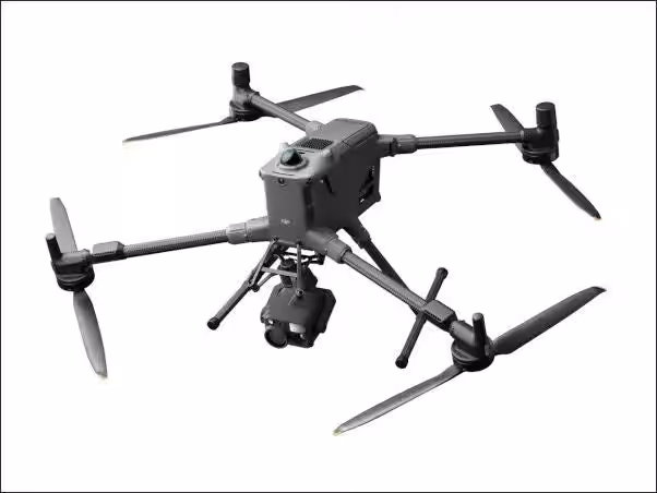
- - DJI MATRICE 400: This industrial flagship drone offers high precision and an impressive flight time of up to 59 minutes.
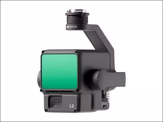
- - DJI ZENMUSE L2: A LiDAR module designed to provide reliable terrain data while maximizing efficiency.
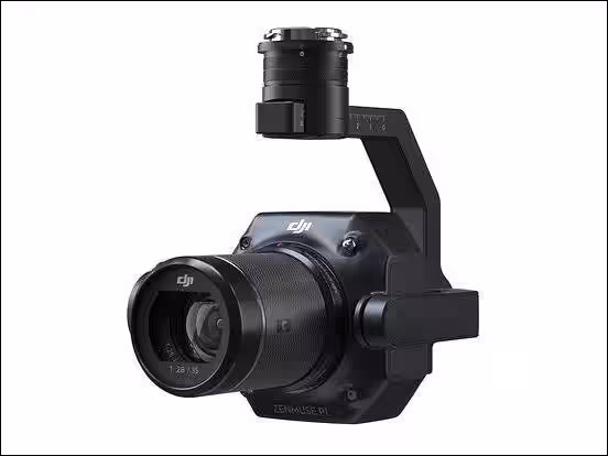
- - DJI ZENMUSE P1: A full-frame camera that elevates aerial photogrammetry to new heights of accuracy.
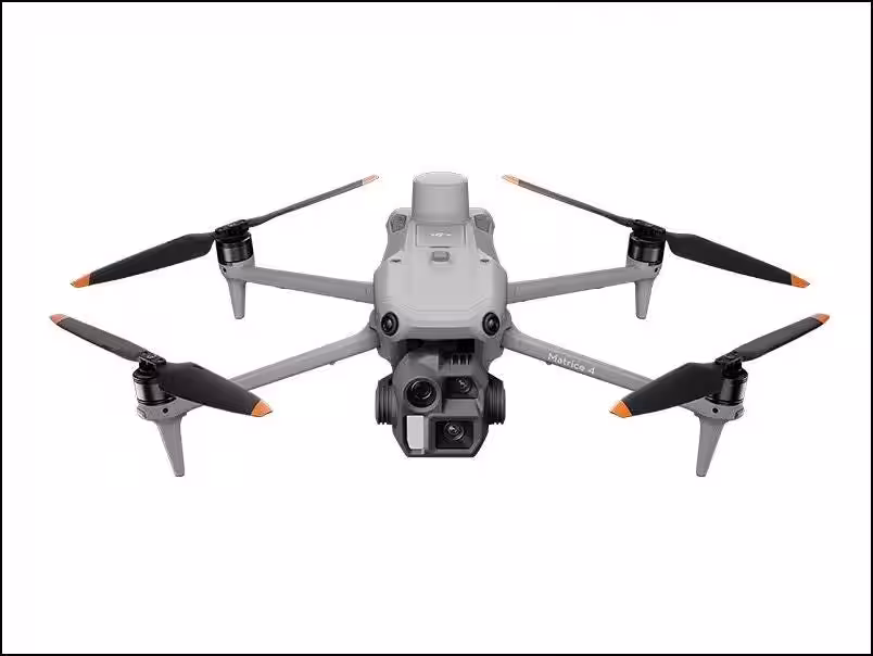
- - DJI MATRICE 4E: A compact drone perfect for surveying and mapping tasks.
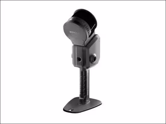
- - Additional tools like the XGRIDS Lixel L2 Pro handheld 3D scanner, enhancing ground operations, will also be demonstrated.
Seminars and Demonstrations
Scheduled to run from 14:00 to 16:00 at the Sekido DJI Yokohama Drone Training Center, the event will involve detailed product introductions, demo flights (subject to weather conditions), and explanations on data analysis using DJI Terra software.
Interested participants can register as the seminar is limited to the first 20 attendees, making it essential to secure a spot early.
How to Register
To sign up for this valuable learning experience, visit Sekido Registration Page. This opportunity will provide insights into efficiency-boosting drone operations tailored for the surveying industry.
Conclusion
With over 45,000 transactions with companies and government sectors across Japan, Sekido stands as a leader in drone sales and support. They aim to demystify drone operations through such informative seminars, allowing businesses to harness the full potential of aerial technology. Join us in Yokohama to pave the way for the future of surveying!


Topics Consumer Technology)


【About Using Articles】
You can freely use the title and article content by linking to the page where the article is posted.
※ Images cannot be used.
【About Links】
Links are free to use.