


Explore Drone Surveying Techniques at Free Seminar in Aichi
Unlocking the Future of Drone Surveying: Live Demonstration in Aichi
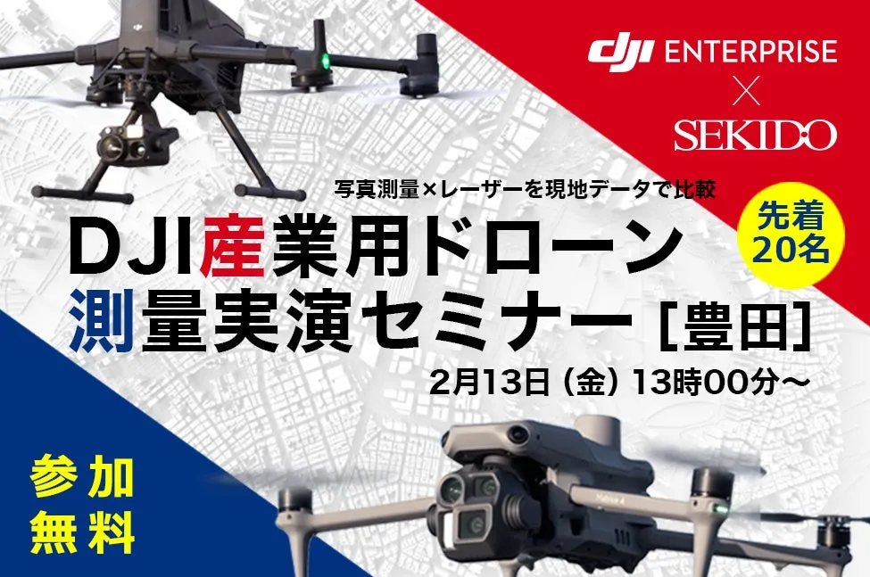
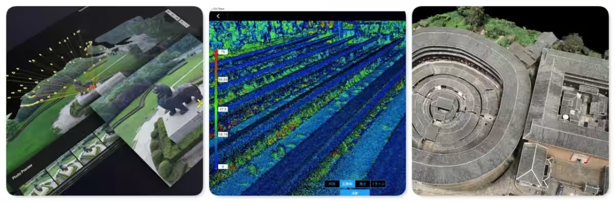
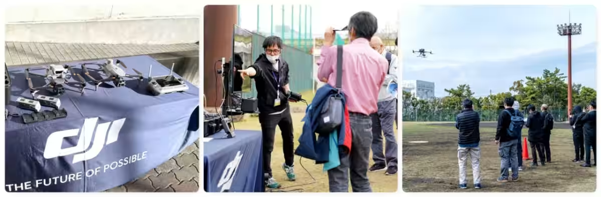
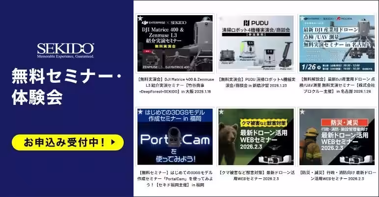
On February 13, 2026, drone enthusiasts and industry professionals will gather in Toyota City, Aichi, for an insightful seminar hosted by Sekido Co., Ltd., a primary dealer for DJI. This event, titled "DJI Industrial Drone Surveying Demonstration Seminar," invites attendees to experience real-time comparisons between photogrammetry and laser surveying techniques, helping them make informed decisions for their own projects.
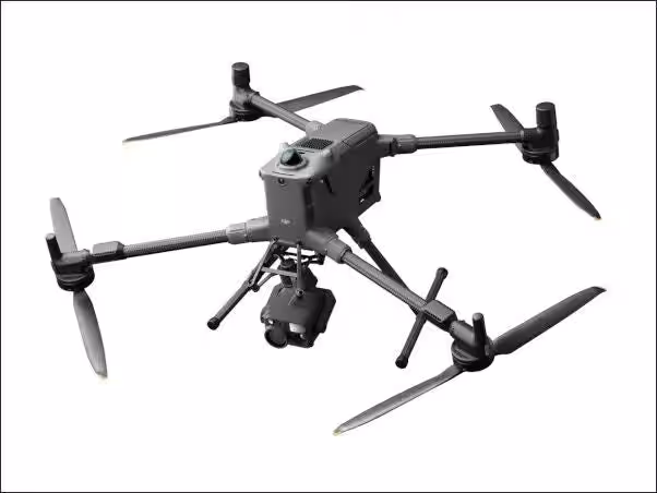
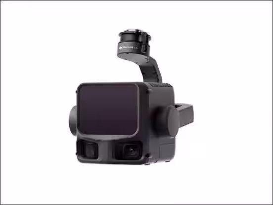
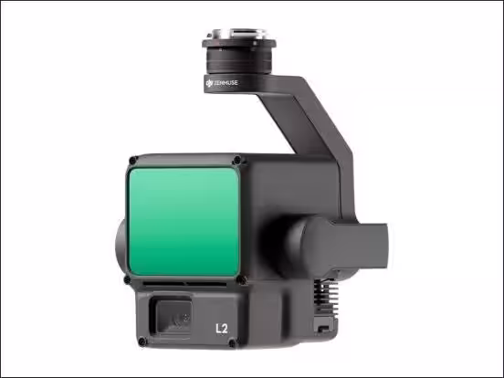
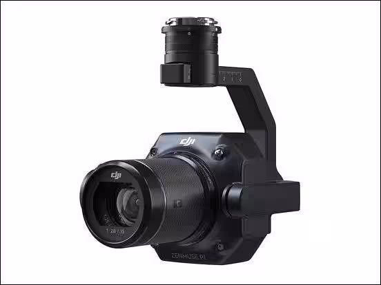
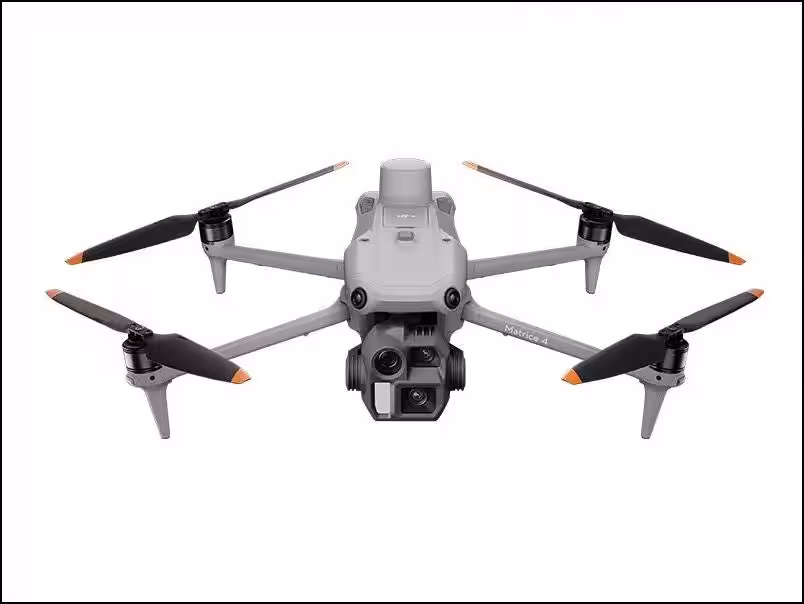
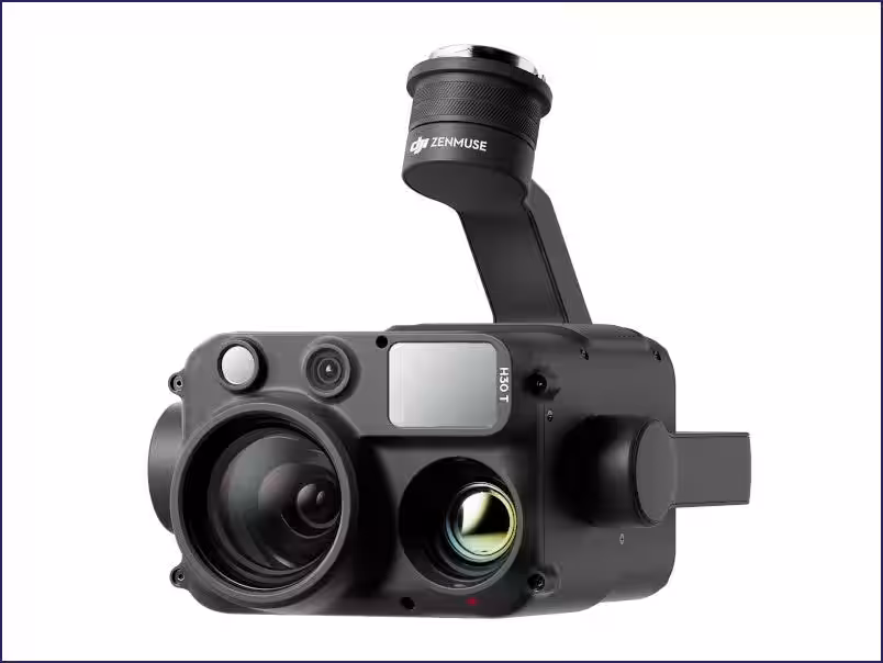
The seminar is free of charge and limited to the first 20 registrants, making it essential to secure a spot early. Starting at 1:00 PM, participants will engage in live demonstrations utilizing the cutting-edge DJI MATRICE 400 and the latest LiDAR system, DJI ZENMUSE L3. The session will allow attendees to witness firsthand how these technologies are applied in a simulated surveying scenario.
What to Expect
During the seminar, various practical aspects will be covered, including:
- - When to use photogrammetry versus laser - underlining scenarios where each method is most effective.
- - Specific considerations for different site types, including vegetation, slopes, and structures.
- - Strategies for minimizing rework in data processing, showcasing how efficiency can be maximized in field operations.
Secondary insights will include:
- - The effort and resources required to deliver output results based on existing geological conditions, such as the nature of the target objects, environmental safety, take-off and landing zones, and number of personnel.
- - How existing surveying techniques like TS, GNSS, or terrestrial lasers can be integrated into drone operations for holistic project management.
This event is highly recommended for:
- - Surveyors currently utilizing photogrammetry and considering integrating laser methods.
- - Construction professionals seeking to enhance efficiency and accuracy in surveying.
- - Anyone needing to gather financial and operational justification for internal approvals regarding drone implementation.
By providing real operational scenarios, this seminar can bridge the knowledge gap for companies looking to adopt drone technology in their workflows. Participants will also glean how companies leverage technology to streamline their processes.
Seminar Details
- - Date: February 13, 2026 (Friday)
- - Time: 1:00 PM - 3:30 PM (Registration opens at 12:45 PM)
- - Venue: OISCA Chubu Japan Training Center, Toyota City, Aichi Prefecture
- - Limit: First 20 attendees only
- - Cost: Free of charge
How to Register
Interested participants can register by visiting Sekido's registration page. Early registration is crucial as slots fill up quickly.
Conclusion
The advancement in drone surveying technology signifies a major leap forward in how industries approach precision mapping and inspections. This seminar will not only provide attendees with knowledge on equipment usage but will also facilitate discussions that can lead to significant operational improvements. Participants will leave with an actionable understanding of integrating drones into their business models, making this event a must for anyone in the surveying and construction sectors.
Don’t miss out on the opportunity to enhance your skills and knowledge in drone surveying. Sign up today and prepare to transform your industry practices!
Limited spots available – register now!

Topics Consumer Technology)


【About Using Articles】
You can freely use the title and article content by linking to the page where the article is posted.
※ Images cannot be used.
【About Links】
Links are free to use.