



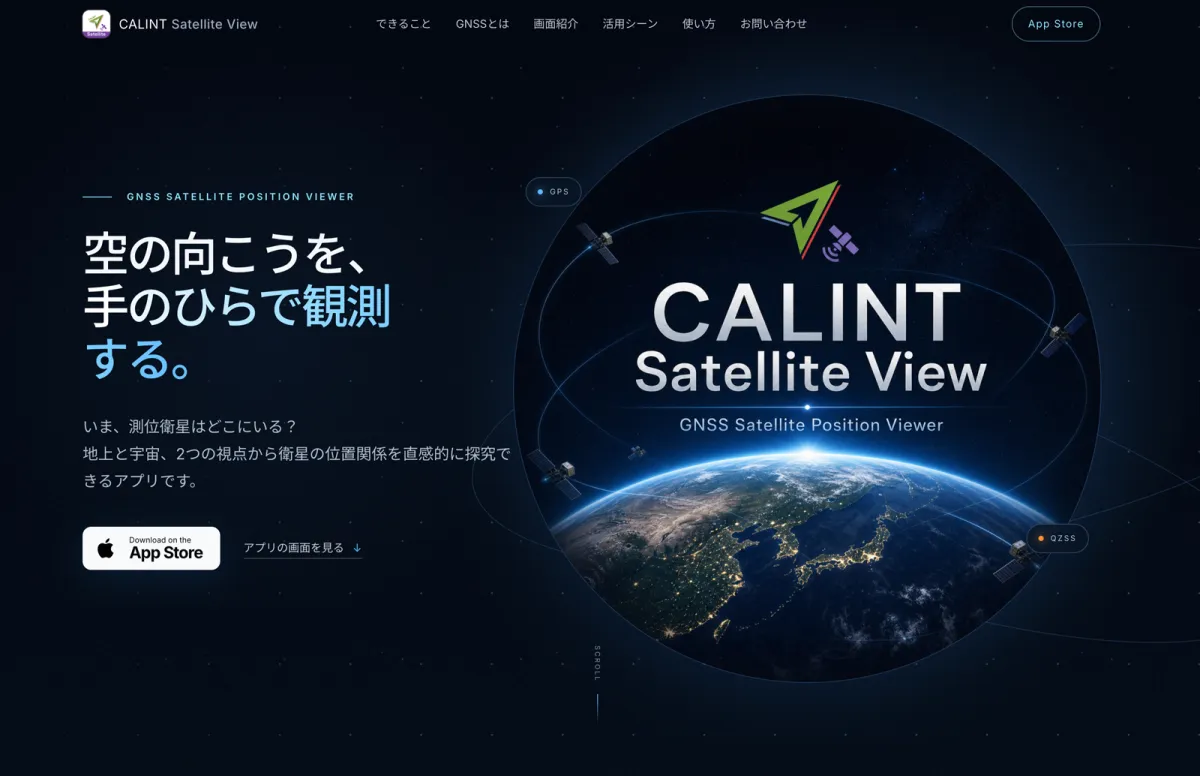
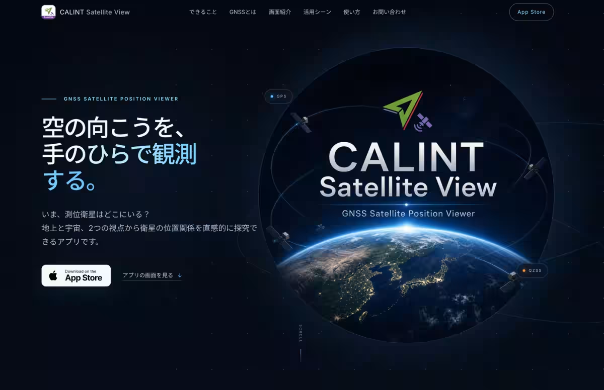
Explore Space and Positioning with CALINT Satellite View App This Summer!
空の見え方"を学べます。
Instead of just browsing the app, consider formulating inquiries such as, "Why does Michibiki appear above Japan for extended periods?" or "How does the visibility of satellites change depending on your location?" Transform these observations into comprehensive research projects that will deepen your understanding of satellite technologies.
For specialists and researchers monitoring the Michibiki-7 satellite, the app derives orbit information based on CelesTrak's OMM standards, ensuring accurate representation of satellite positions and movements. The app’s transparency in handling provisional orbital data avoids misconceptions, as new updates on operational orbits are implemented.
The launch of Michibiki-7 is not just a technological feat but a manifestation of the hard work by countless individuals in the field of space technology. We hope CALINT Satellite View will inspire young minds to explore the wonders of the universe and contribute to fields that intertwine science, mathematics, and programming. With just a little summer left, there’s still ample opportunity to explore, learn, and for future 'space experts' to be born!
Founded on May 8, 2018, moegi focuses on innovating through maps and technology to create a better tomorrow. The company’s aim to integrate position-based information in various sectors, from education to mobility, represents a commitment to making discussions around space exploration accessible to everyone.
To learn more about CALINT Satellite View, check out the official website and download the app today: CALINT Satellite View. Join us on this fantastic journey as we look to the skies and engage with the cosmos!
Contact Information: For further inquiries about moegi and CALINT, visit their official website.
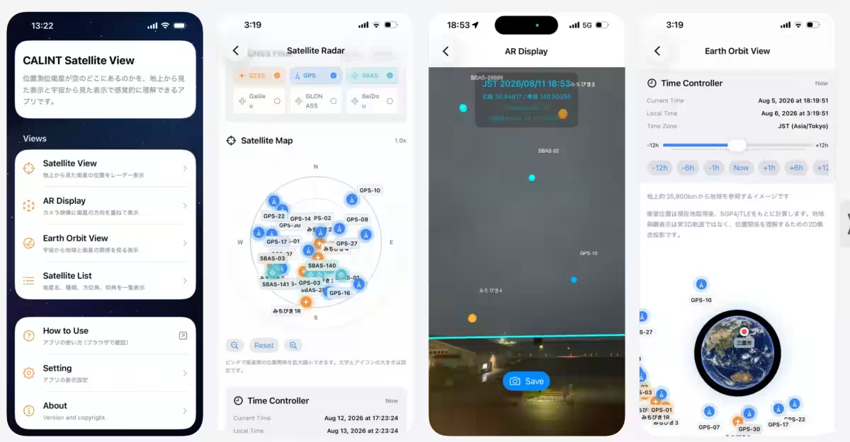
- - 地球を俯瞰して軌道を観察: 高度約35,000キロメートルの衛星を含む測位衛星の配置を、宇宙からの視点で観察できます。
- - ARで実際の空と重ねて探す: スマートフォンを空に向けて、衛星の方向を直感的に確認できます。
- - 時刻を動かして衛星の変化を比較: 時間を進めたり戻したりすることで、衛星の位置関係や動きの違いを観察できます。
Make the Most of Your Summer Research
Instead of just browsing the app, consider formulating inquiries such as, "Why does Michibiki appear above Japan for extended periods?" or "How does the visibility of satellites change depending on your location?" Transform these observations into comprehensive research projects that will deepen your understanding of satellite technologies.
Expert Insights
For specialists and researchers monitoring the Michibiki-7 satellite, the app derives orbit information based on CelesTrak's OMM standards, ensuring accurate representation of satellite positions and movements. The app’s transparency in handling provisional orbital data avoids misconceptions, as new updates on operational orbits are implemented.
Looking Ahead
The launch of Michibiki-7 is not just a technological feat but a manifestation of the hard work by countless individuals in the field of space technology. We hope CALINT Satellite View will inspire young minds to explore the wonders of the universe and contribute to fields that intertwine science, mathematics, and programming. With just a little summer left, there’s still ample opportunity to explore, learn, and for future 'space experts' to be born!
About moegi Inc.
Founded on May 8, 2018, moegi focuses on innovating through maps and technology to create a better tomorrow. The company’s aim to integrate position-based information in various sectors, from education to mobility, represents a commitment to making discussions around space exploration accessible to everyone.
To learn more about CALINT Satellite View, check out the official website and download the app today: CALINT Satellite View. Join us on this fantastic journey as we look to the skies and engage with the cosmos!
Contact Information: For further inquiries about moegi and CALINT, visit their official website.
Topics Other)

【About Using Articles】
You can freely use the title and article content by linking to the page where the article is posted.
※ Images cannot be used.
【About Links】
Links are free to use.