Innovative Water Mapping Solution to Enhance Biodiversity Conservation Efforts


An Innovative Approach to Water Resource Management
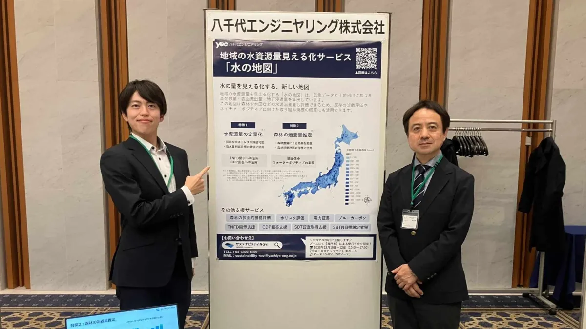
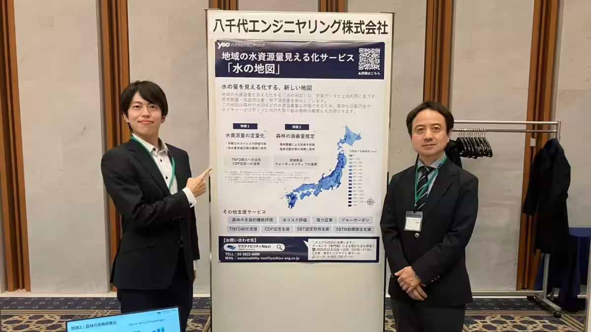
Yachiyo Engineering Co., based in Taito-ku, Tokyo, showcased its groundbreaking solution, Water Map, at the 5th Business Forum of the Japan Conference for the Realization of the 2030 Biodiversity Framework (J-GBF) held on December 2, 2025. This forum provided a platform for businesses to discuss biodiversity challenges and solutions, highlighting the importance of sustainable practices in today’s corporate landscape.
What is the Water Map?
The Water Map is a revolutionary solution that visualizes the quantity and risk of water resources at a river basin level. By employing weather data alongside land-use information, Yachiyo Engineering calculates various data points, including evaporation, surface runoff, and underground infiltration. This tool is especially useful for assessing the water resource holding capacity of areas such as forests and rice paddies. Additionally, it supports existing activity evaluations and provides insights essential for achieving nature-positive initiatives.
Key Features:
1. Comprehensive Water Resource Evaluation Across Japan: The tool enhances assessments by considering weather patterns and land-use types to evaluate underground water infiltration.
2. Evaluation of Water Conservation Initiatives: Water holding capacities can be evaluated flexibly to support corporate conservation efforts involving forests and rice paddies.
3. Cost-Effective Evaluation Compared to Traditional Methods: By visualizing water balance across Japan, evaluations can be conducted swiftly and at a reduced cost.
The Water Map has been recognized for its innovation, notably receiving the Excellence Award at the 7th EcoPro Award, organized by the Sustainable Management Promotion Organization.
For interested parties, inquiries can be made via Sustainability Navi at Sustainability Navi Contact.
Insights from the Forum
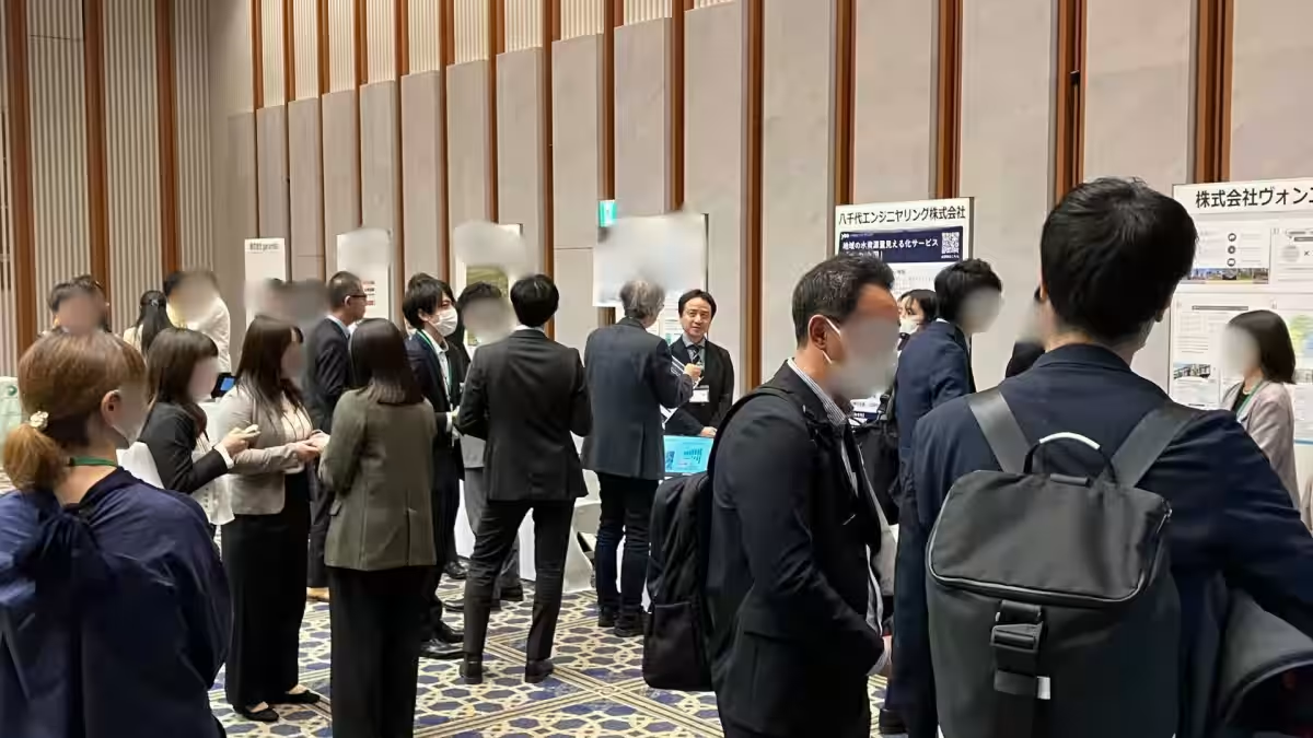
During the exhibition, Yachiyo Engineering's booth attracted significant attention from companies and organizations keen on addressing water risk. Engaging discussions occurred, particularly concerning the Water Map's potential applications for Task Force on Nature-related Financial Disclosures (TNFD) and CDP information disclosures. Demonstrations of the Water Map garnered enthusiastic responses, underscoring a growing interest in strategies for visualizing water resources at the basin level.
Feedback from attendees reiterated the critical importance of water risk assessment within sustainability strategies, highlighting a strong demand for tailored solutions in this area. The insights gained from these interactions will be invaluable for refining our service offerings moving forward.
About Sustainability Navi
Sustainability Navi is dedicated to addressing corporate sustainability challenges within various focus areas, including climate change, water risk, biodiversity, and resource circulation. We provide comprehensive support ranging from research and evaluation to policy and strategy formulation, as well as facilitation of information disclosures. Our services aim to enhance corporate branding and foster collaborations among businesses, communities, and governmental bodies, tailored to meet diverse needs.
For further information, visit Sustainability Navi.
Topics Environment)


【About Using Articles】
You can freely use the title and article content by linking to the page where the article is posted.
※ Images cannot be used.
【About Links】
Links are free to use.