



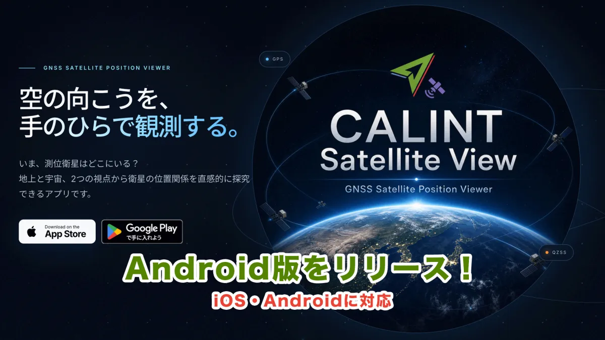
CALINT Satellite View App Now Available for Android Users Globally
Introduction to CALINT Satellite View
The launch of the Android version of the CALINT Satellite View app marks a significant stride in satellite visualization technology. Developed by Moegi Co., Ltd., this application empowers users to monitor the locations and movements of various positioning satellites, including GPS and the quasi-zenith satellite system "MICHIBIKI." Initially available only on iOS since August 2026, its arrival on Android expands accessibility for users everywhere.
What is CALINT Satellite View?
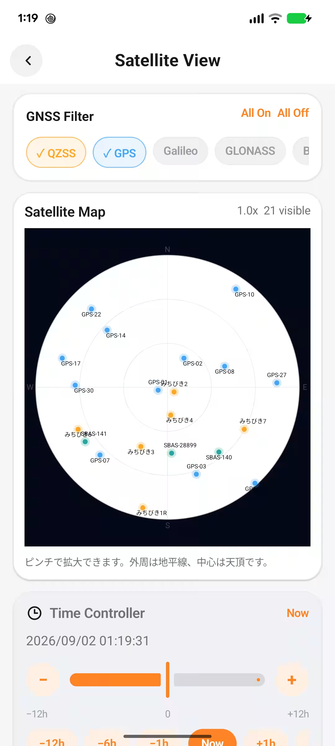
CALINT Satellite View is a user-friendly app that provides real-time visualizations of the locations of positioning satellites crucial to our everyday lives. By leveraging the current GPS location of the smartphone, users can easily determine the direction and elevation angle of satellites from their observation point. Additionally, the app offers a comprehensive overview of satellite arrangements from a space perspective.
One standout feature is the ability to modify time settings within the app, allowing users to observe how satellites move over time. This functionality enables a deeper understanding of satellite operations, appealing to both casual users and students alike.
Main Features
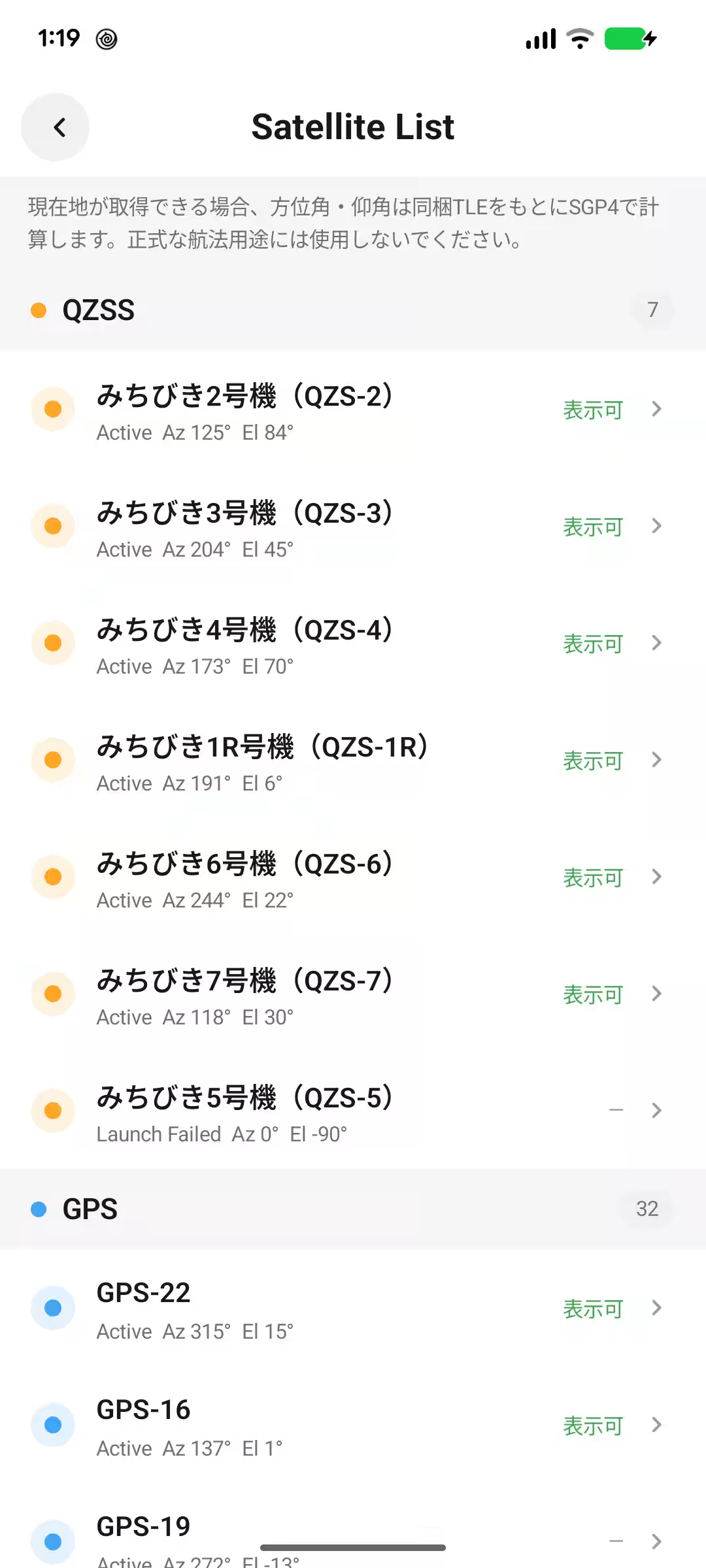
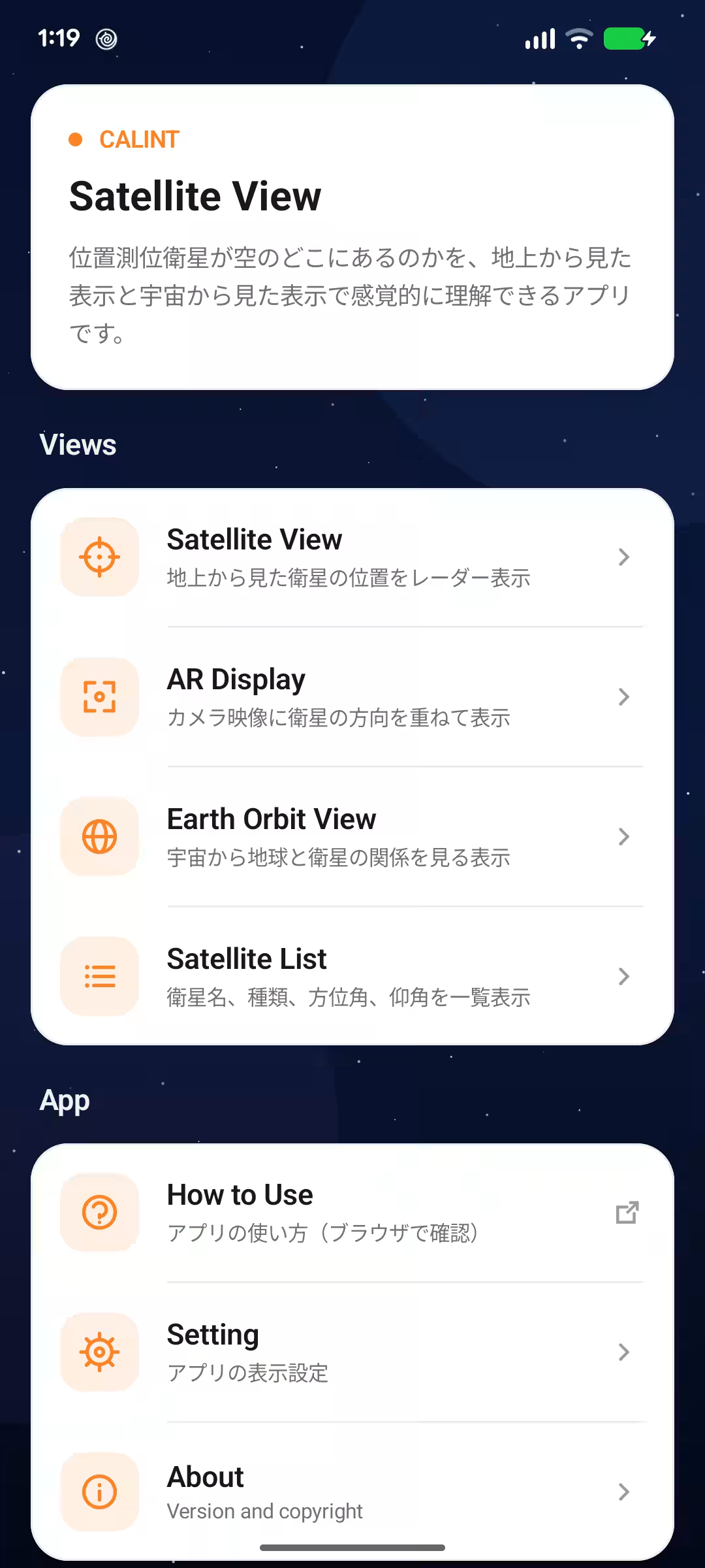
- - Real-time Display of Satellite Locations: Showcases current positions of various positioning satellites like GPS and MICHIBIKI.
- - Satellite Direction and Elevation Angle: Provides insight based on the smartphone's location.
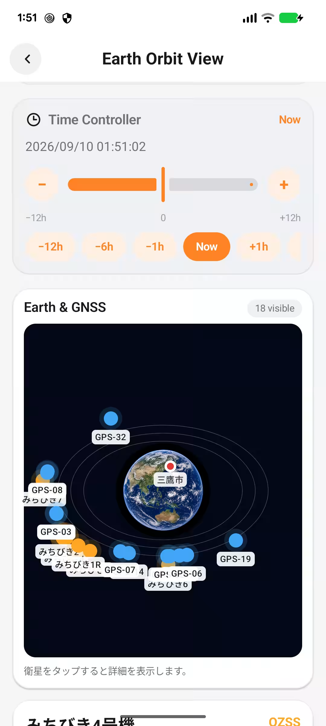
- - Earth Observational View: Offers a unique perspective from space, displaying satellite arrangements around Earth.
- - Simulated Satellite Positioning: Allows users to switch dates and times to view satellite movements.
- - Detailed Satellite Information: Includes data about each satellite and its orbital path.
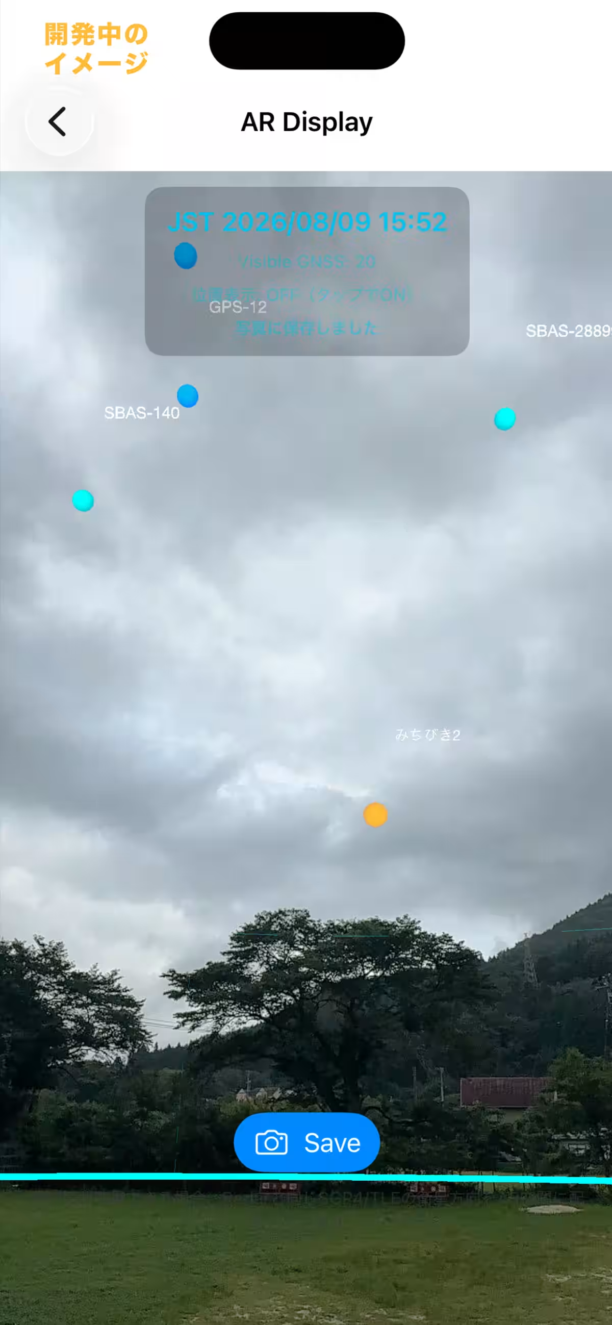
- - Augmented Reality (AR) Features: Users can point their smartphone to the sky and visually identify satellites.
Recent Updates and Developments
The Android version of CALINT Satellite View underwent meticulous development using Kotlin and Jetpack Compose. Following rigorous testing and necessary approvals from Google Play, the official release has been made possible. The app's launch on Android ensures that a wider audience can engage with satellite positioning, regardless of their smartphone brand or operating system.
In addition to standard functionalities, CALINT Satellite View now supports the visualization of the latest added satellite, "MICHIBIKI 7," launched by H3 rocket No. 9 on August 11, 2026. After obtaining the latest orbital data post-launch, the app continuously updates its display to ensure accurate representation of satellite positions. This real-time monitoring fosters a deeper connection between users and satellite launches.
Applications in Education and Research
GNSS (Global Navigation Satellite System) technologies are crucial across various sectors—ranging from automotive navigation and logistics to disaster management and drone flights. However, opportunities to tangibly connect satellite configurations to everyday GPS use are scarce. CALINT Satellite View bridges this knowledge gap by presenting complex positioning satellite data in an intuitive and accessible format.
The app caters to a diverse user base, including general enthusiasts, school students, university researchers, and anyone engaged in GNSS studies or satellite surveying.
Comments from the Founder
Rina Katayose, CEO of Moegi Co., Ltd., expresses her enthusiasm: "We are thrilled to have launched the Android version of CALINT Satellite View, following its iOS debut. Our goal is to raise awareness of the satellite systems that underpin daily location services. By making this app available across platforms, we enhance its potential for educational use in schools and universities, as well as encouraging enthusiasts to deepen their understanding of satellites' movements. Moegi will continue to develop user-friendly applications that utilize maps, GNSS, and ICT for an enriched experience."
App Overview
- - Name: CALINT Satellite View
- - Availability: Free on both iOS and Android platforms
- - Ad Support: Yes
- - Developer Information: Moegi Co., Ltd.
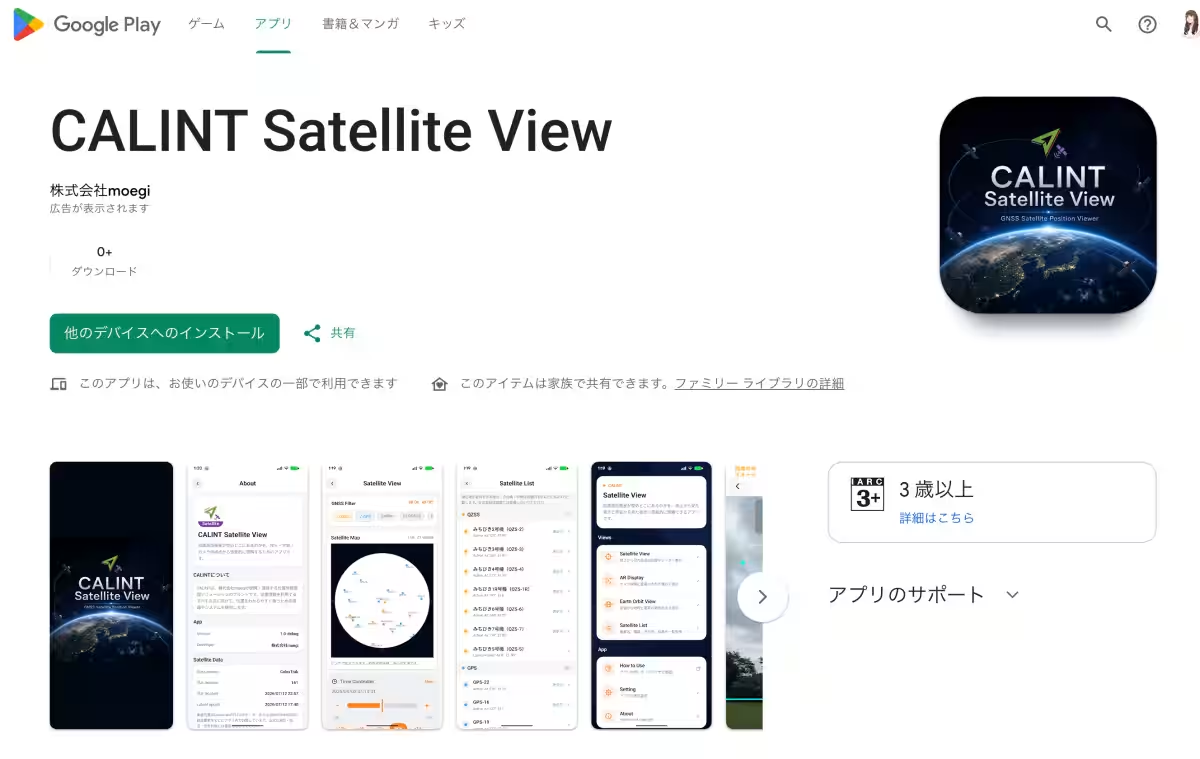
Links for Download
Disclaimer: The satellite positions depicted in the app are based on available orbital data and should not be used for safety-critical applications.
About Moegi Co., Ltd.
Moegi Co., Ltd. specializes in developing applications and services that utilize mapping technologies, GNSS, and ICT. Their product lineup includes several CALINT series solutions, such as CALINT Camera, CALINT Logger, and CALINT Map. The company aims to enhance user interaction with positional information while ensuring accuracy and accessibility for all.
- - Company Name: Moegi Co., Ltd.
- - CEO: Rina Katayose
- - Headquarters: Musashino, Tokyo
- - Development Offices: Iwaki, Fukushima; Nihonbashi, Tokyo
- - Website: Moegi Official Site
For inquiries: Rina Katayose can be reached through the contact number 050-7103-5546 or via the contact form on their website.
Topics Consumer Technology)


【About Using Articles】
You can freely use the title and article content by linking to the page where the article is posted.
※ Images cannot be used.
【About Links】
Links are free to use.