



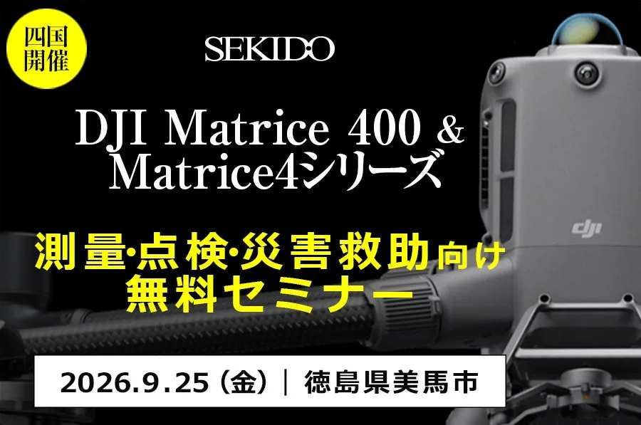
Discover the Future of Drone Technology at Shikoku Seminar on September 25th, 2026
Upcoming Drone Seminar in Tokushima on September 25, 2026
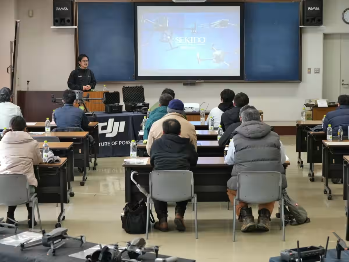
A remarkable event for professionals in surveying, infrastructure inspection, and disaster response is set to take place in Tokushima. Sekido Co., Ltd., an authorized dealer of DJI products, is hosting a free seminar titled "Drone Utilization Seminar for Construction, Surveying, Inspection, and Disaster Response in Shikoku". This event will be held on September 25, 2026, in the city of Mima, Tokushima Prefecture.
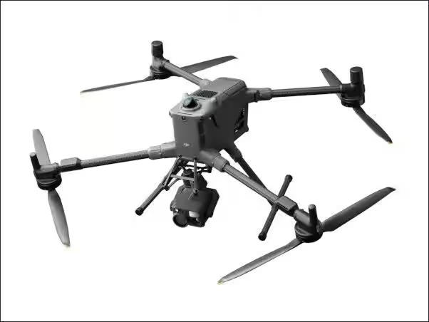
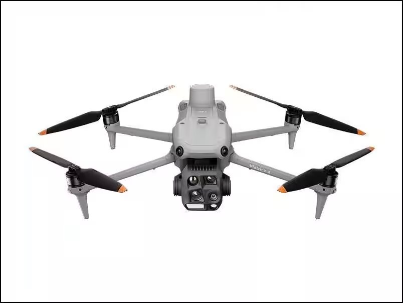
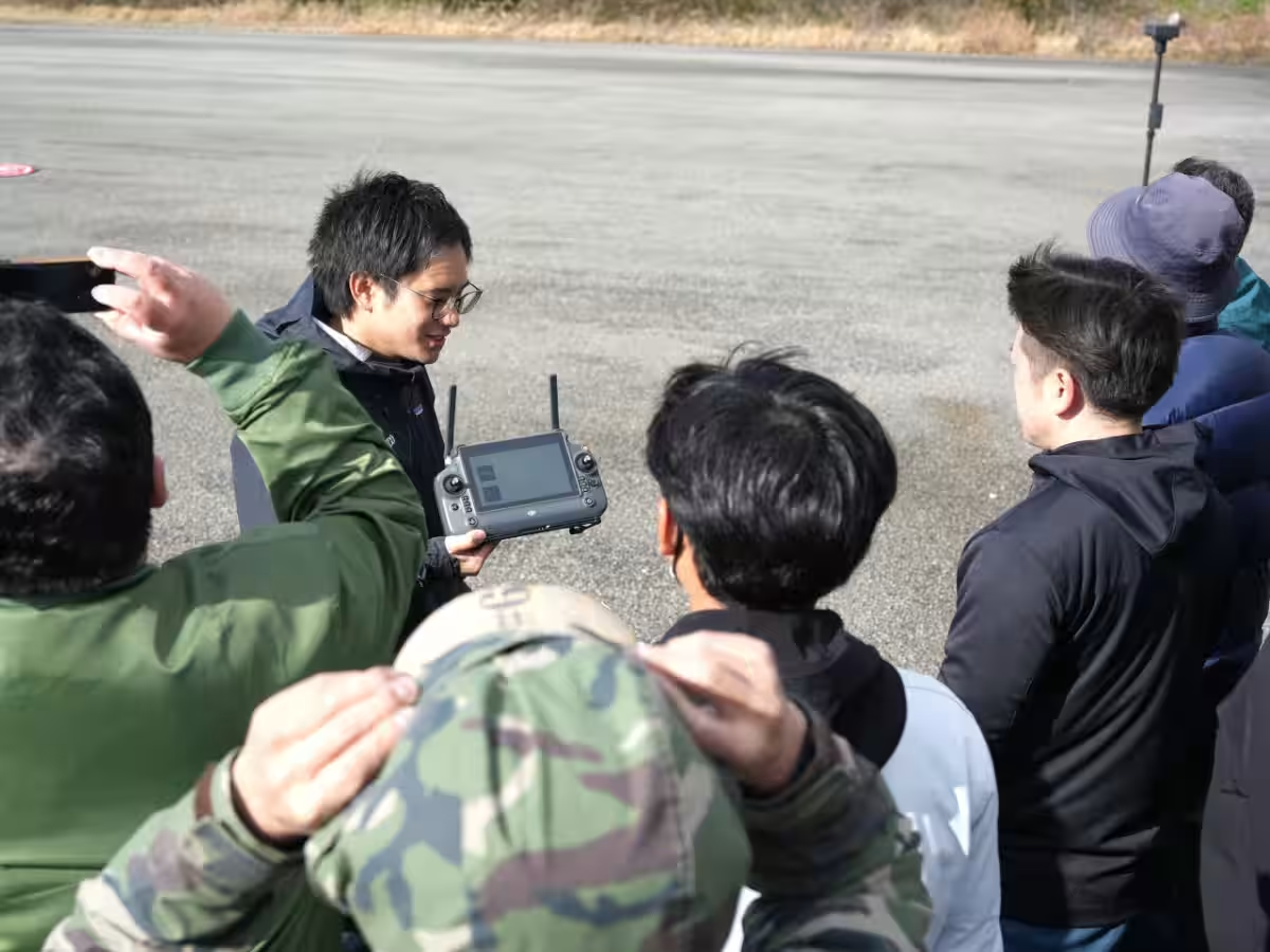
During this seminar, attendees will experience live demonstrations using DJI's industrial drones, including the Matrice 400, Matrice 4 series, and DJI Dock 3. Participants will gain invaluable insights into how drones can enhance efficiency in surveying, inspections, and disaster-related operations. Additionally, the seminar will offer tips on selecting the appropriate drones and sensors based on specific operational requirements.
Drone Implementation in Surveying and Inspections
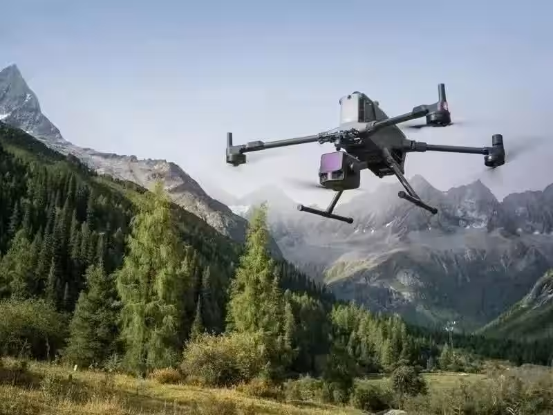
Utilizing drones in the fields of surveying and inspection has become an essential practice, leveraging techniques such as photogrammetry and LiDAR for laser measurement to streamline data collection on-site. Drones are increasingly utilized for inspections of infrastructure and equipment, as well as during disaster events to gather information from hard-to-reach areas. Their ability to access remote locations makes drones a valuable tool in various scenarios.
However, the diverse range of industrial drones in terms of capabilities and sensors necessitates careful consideration during the purchasing process. Key questions to address include:
- - What performance specifications are essential for your operations?
- - How should you select the right combinations of drones and sensors?
- - Is there a need for remote or automated operation capabilities?
This seminar aims to clarify such queries and facilitate effective choices tailored to the unique needs of each business.
Essential Information for Participants
The seminar will not only highlight specific products but will also delve deeply into how to select the right drones and sensors tailored to the operational context and goals of participants' companies. Whether you are contemplating the introduction of drone technology for surveying, infrastructure inspections, or disaster response, or are in the data collection phase, this event will provide crucial information to help with your decision-making process.
Participants will have the opportunity to compare suitable drone and sensor configurations for various applications:
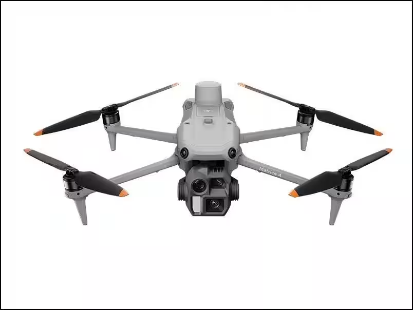
- - Using Matrice 4E for surveying,
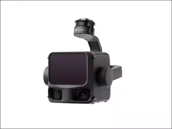
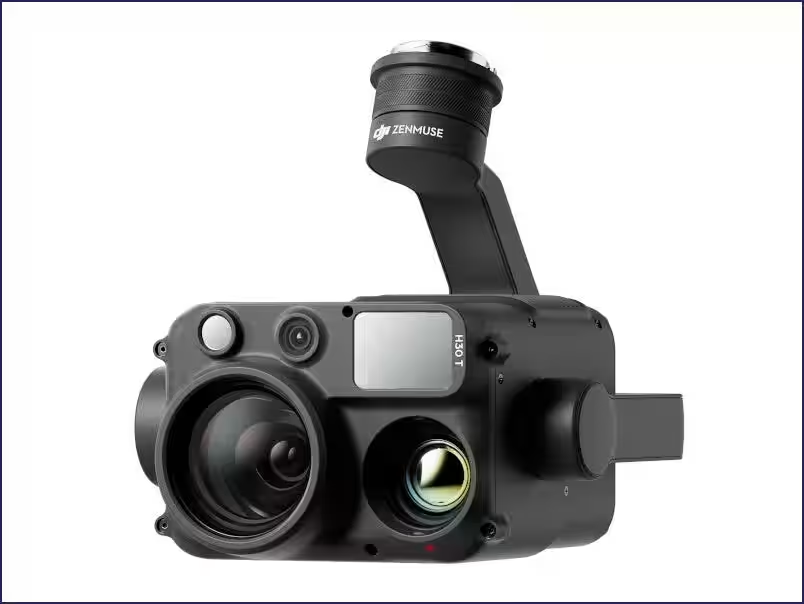
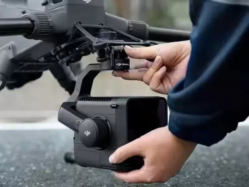
- - Employing Matrice 4T and Zenmuse H30T for inspections,
- - Combining Matrice 400 with Zenmuse P1/L2/L3 for photogrammetry and laser measurements,
- - Utilizing DJI Dock 3 with Matrice 4D and 4TD for remote and automated operation.
Who Should Attend?
This seminar welcomes a wide array of attendees, including:
- - Those looking to incorporate UAV photogrammetry and LiDAR for laser surveying,
- - Professionals interested in enhancing efficiency in construction and civil engineering,
- - Individuals wanting to leverage drones for infrastructure inspections,
- - Emergency responders looking to utilize drones during disaster situations,
- - Anyone curious about remote and automated drone operations using DJI Dock 3,
- - Those contemplating upgrading their existing industrial drones or seeking advice on suitable drone and sensor combinations.
Seminar Details
Date: September 25, 2026
Time: 14:00 - 16:00 (Registration starts at 13:45)
Venue: Tokushima Prefectural Western Disaster Prevention Hall
Location: 〒777-3600 Tokushima Prefecture, Mima City, Mima-machi, Nakadori
Capacity: 50 participants (Registration will close once capacity is reached)
Fee: Free
Parking: Available for free
Pre-registration Required
Don't miss the opportunity to enhance your drone knowledge and network with industry peers. Register now: Register Here
Products Demonstrated at the Seminar
- - DJI Matrice 400: An industrial flagship drone with a maximum flight time of 59 minutes and payload capacity of 6kg. Designed for diverse applications including surveying, inspection, and disaster response, it incorporates advanced obstacle detection technologies.
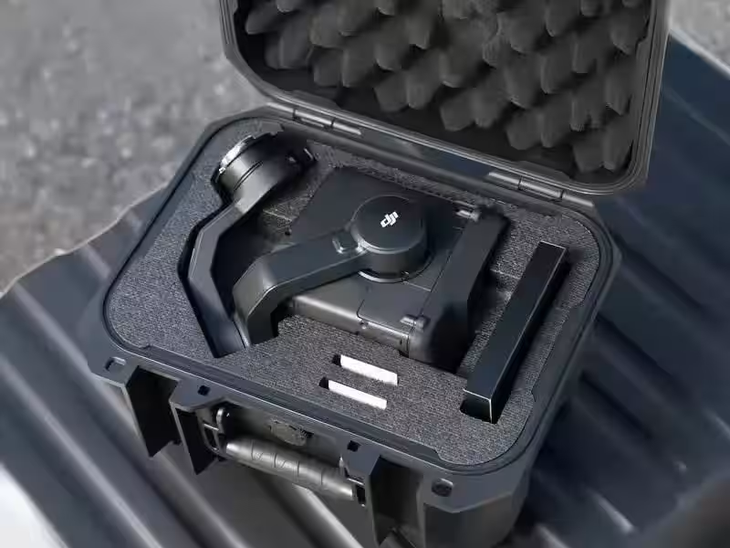
- - DJI Zenmuse H30T: A comprehensive all-weather multi-sensor system featuring wide-angle, zoom, thermal cameras, and laser range finders designed for public safety and energy inspections.
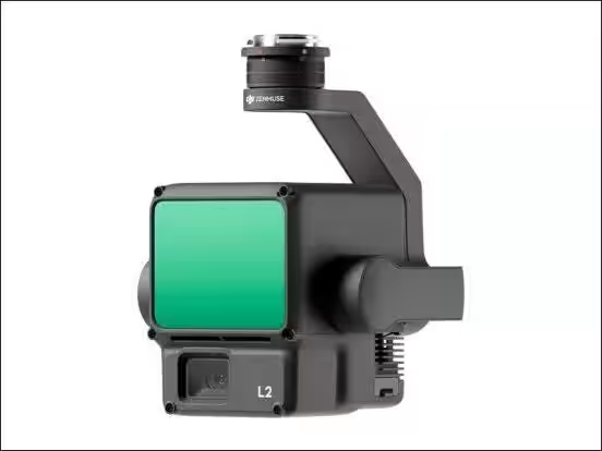
- - DJI Zenmuse L3: A high-precision aerial LiDAR system capable of long-range measurement, enhancing geospatial data collection accuracy.
- - More models and technologies will also be introduced at the seminar.
About Sekido
Sekido is a leading company specializing in drone sales and support services, with a history of partnerships with over 45,000 businesses and government organizations across Japan. As an early adopter in the drone industry and the first authorized dealer of DJI, Sekido has played a pivotal role in promoting drone technology for various practical applications.
For regular updates on future seminars and events, visit our website: Sekido Events
Join us in exploring the future of drone technology!

Topics Consumer Technology)
【About Using Articles】
You can freely use the title and article content by linking to the page where the article is posted.
※ Images cannot be used.
【About Links】
Links are free to use.