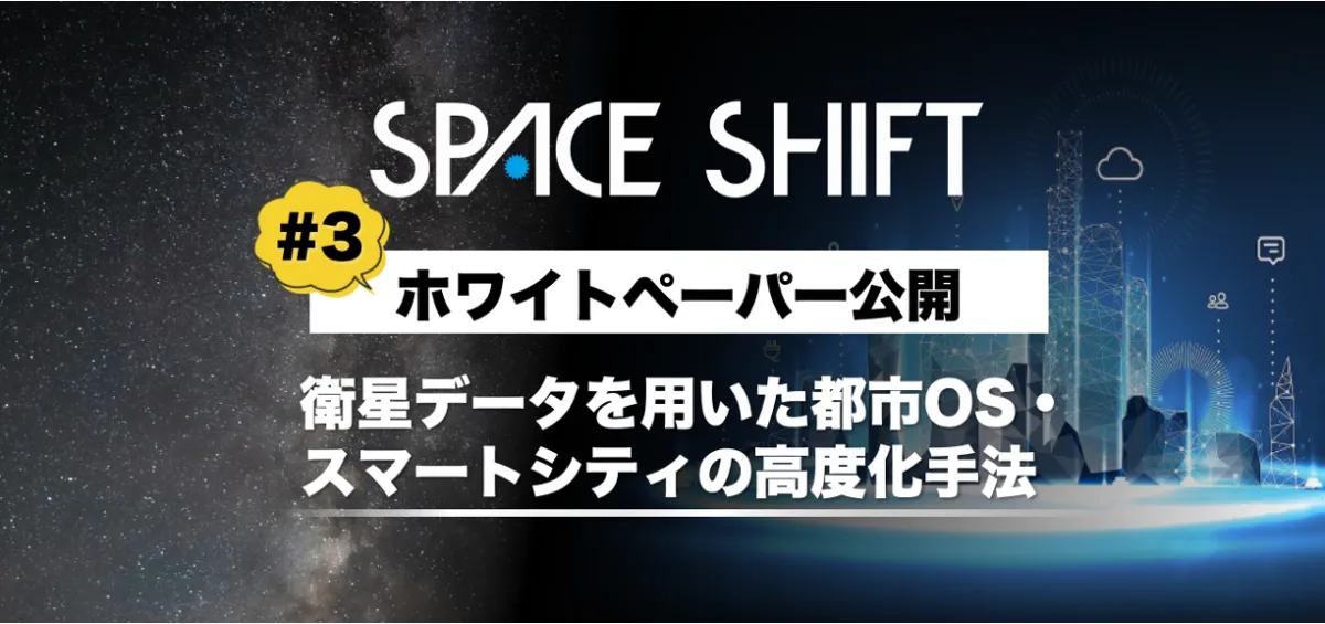
Space Shift Releases White Paper on Satellite Data for Smart Cities


Introduction to the White Paper
Space Shift, based in Chiyoda, Tokyo, has recently published its third white paper that delves into the application of satellite data within urban operating systems (Urban OS) and smart city initiatives. This document highlights practical examples of how satellite data can be employed to tackle urban challenges such as monitoring the construction and demolition of buildings, expediting disaster response, and enhancing decision-making in urban policy.
Capturing the Reality of Cities with Satellite Data
Urban planners and city officials often encounter significant hurdles in the following areas:
- - The challenges of timeliness and accuracy when conducting on-site surveys leading to outdated information.
- - The necessity to quickly assess damage during disasters, where field surveys pose safety risks, thus delaying initial responses.
- - The integration and analysis of existing administrative data, which can seem daunting due to their complexity.
In light of these obstacles, this white paper introduces solutions leveraging "Satellite Data × AI." It clearly articulates three detailed use cases illustrating how such technologies can help address these urban management challenges effectively.
Key Contents
1. Integration of Building Detection AI with Urban OS: This section focuses on monitoring the states of buildings to gain real-time insights into construction activities.
2. Enhancing Disaster Response Using Satellite Data: Here, it emphasizes the need for swift damage assessments and the methodologies employed to deliver timely responses using satellite imagery.
3. Comprehensive Analysis of Urbanization Trends: Using satellite data to study urbanization trends over time enables cities to identify previously hidden risks and opportunities efficiently.
Building Detection AI Explained
Among the cutting-edge technologies developed at Space Shift, the "Building Detection AI" is noteworthy. This AI system analyzes Synthetic Aperture Radar (SAR) satellite imagery to detect newly constructed buildings. The company is also working on methodologies that incorporate optical satellite images, significantly enhancing detection accuracy. The processing outcomes generated through these technologies can be tailored to meet customer requirements, providing valuable insights into urban development.
About Space Shift
With the theme "Sense the Unseen from Orbit," Space Shift, Inc. focuses on developing software that processes Earth observation satellite data through AI, allowing for insights that surpass human recognition capabilities. This innovative approach aims to leverage satellite data across various domains such as infrastructure management, disaster mitigation, agricultural monitoring, and environmental conservation, all while striving towards the realization of a sustainable society.
Company Overview
- - Company Name: Space Shift, Inc.
- - CEO: Naruo Kanemoto
- - Headquarters: 6th Floor, Otemachi Building, 1-6-1 Otemachi, Chiyoda, Tokyo, Japan
- - Established: December 11, 2009
- - Capital: 638 million yen (including capital reserve)
In conclusion, the introduction of the white paper by Space Shift signifies a crucial advancement in the utilization of satellite data for urban development and sustainable city management. It provides clear, actionable insights poised to enhance the efficacy of city operations in alignment with modern technological advancements.
Topics Consumer Technology)
【About Using Articles】
You can freely use the title and article content by linking to the page where the article is posted.
※ Images cannot be used.
【About Links】
Links are free to use.