


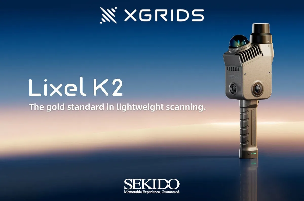
XGRIDS Launches the Lightweight 3D Scanner Lixel K2 for Accurate Spatial Data Capture
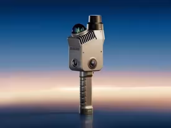
Introducing the XGRIDS Lixel K2
Sekido, based in Minato, Tokyo, is set to begin offering the Lixel K2, a groundbreaking lightweight space scanner developed by XGRIDS, a leader in spatial intelligence platforms. Scheduled for release around June 2026, Sekido is already accepting inquiries for estimates, reservations, and implementations for this innovative device.
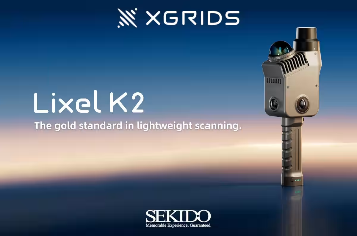
The XGRIDS Lixel K2
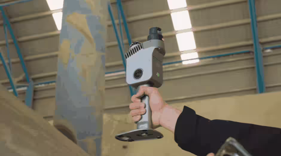
The Lixel K2 combines advanced technologies such as LiDAR, cameras, and an RTK module, which enables users to generate multiple data formats, including point clouds, meshes, and 3DGS. This versatility makes it suitable for various fields such as real estate measurement, civil engineering, construction management, cultural heritage preservation, and volumetric measurement.
Key Features of the XGRIDS Lixel K2
1. High Relative Accuracy
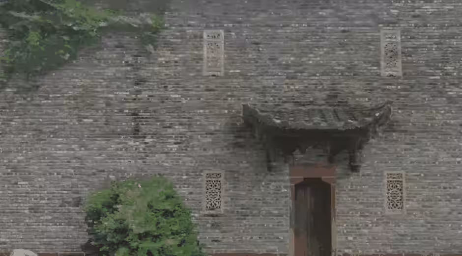
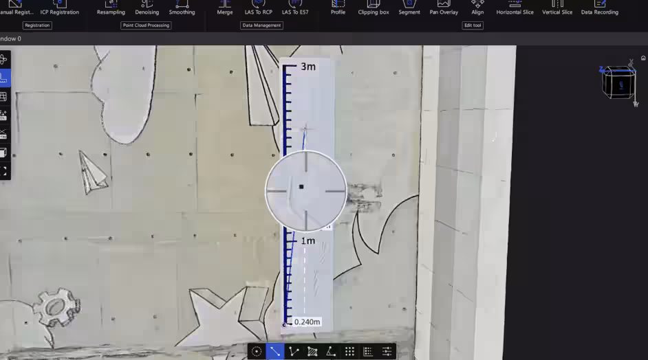
The Lixel K2 provides practical data with a relative accuracy of 1 cm, making it especially adept at distinguishing wall surfaces, windows, doors, and distances between objects.
2. Sharp Point Clouds
By limiting the thickness of post-processed point clouds to a maximum of 1 cm, the scanner minimizes structural noise and accurately reproduces boundaries and edges, making it an effective tool for drafting and edge extraction.
3. High-Resolution Point Clouds
It generates point cloud data that balances clarity and color accuracy, allowing stakeholders to understand the shapes and textures of onsite structures easily. This data can be invaluable for information sharing among project members.
4. Compatible with Various Data Formats
The scanner's outputs can be converted into multiple formats – point clouds, meshes, and 3DGS – allowing flexibility in applications such as measurements, drafting, spatial modeling, and creating digital twins.
5. Seamless Integration with Apps
Users can monitor the scan interface and device status via smartphone. A companion PC application ensures a smooth workflow for data processing and deliverable creation.
Utilizing Lixel CyberColor for 3DGS
Data obtained from the Lixel K2 can be leveraged through XGRIDS’ proprietary Lixel CyberColor, which offers comprehensive services from data acquisition to generation, editing, and dissemination. This suite streamlines the process of visualizing and sharing spatial data. Additionally, Lixel CyberColor supports large-scale displays and data optimization for diverse settings, including mobile, VR, and web platforms.
Main Use Cases
- - Real Estate Measurement: Capture the current state of buildings and sites in 3D, aiding spatial understanding and stakeholder communication.
- - Civil Engineering and Construction Management: Acquire point cloud data reflecting construction site conditions for progress tracking, quality control, and drafting purposes.
- - Cultural Heritage Preservation: Record the shapes of buildings and excavated sites in 3D for storage, research, and restoration planning.
- - Volume and Quantity Measurement: Capture the shapes of soil, materials, and stockpiles for accurate volume calculations and inventory management.
Product Information for XGRIDS Lixel K2
The Lixel K2 stands out as a lightweight scanner capable of achieving relative accuracy of 1 cm in 3D spatial data capture. It's designed for various professional applications, including surveying, construction management, cultural heritage preservation, and volume measurement.
Release Timing: Expected around June 2026.
For more information, visit: Sekido Product Page
- ---
Sekido is a leading company in Japan’s drone sales and support sector, boasting partnerships with over 45,000 firms and governmental agencies. It pioneered drone services in Japan and became the first Japan-based distributor of DJI, the world leader in drones. Operating comprehensive drone facilities in Tokyo, Kanagawa, and Fukuoka, Sekido is dedicated to advancing next-generation agricultural research and development in collaboration with other companies.
If you have inquiries related to press releases, please contact us via our inquiry form: Contact Form.


Topics Consumer Products & Retail)


【About Using Articles】
You can freely use the title and article content by linking to the page where the article is posted.
※ Images cannot be used.
【About Links】
Links are free to use.