



Attend the Free UAV Surveying Seminar Featuring DJI Drones in Shiga
Free UAV Survey and Laser Survey Seminar in Shiga
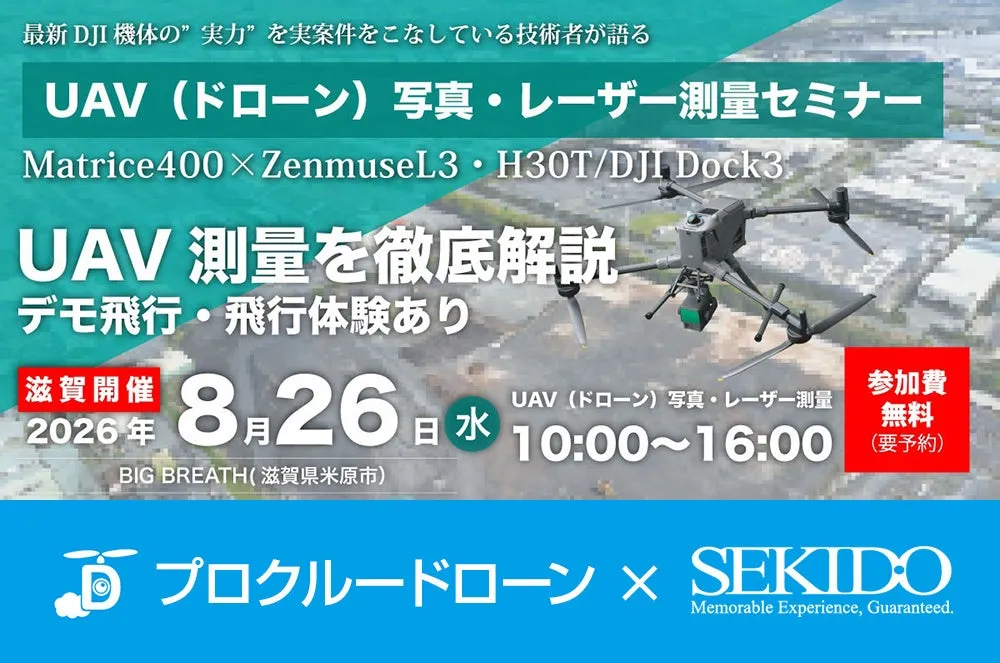
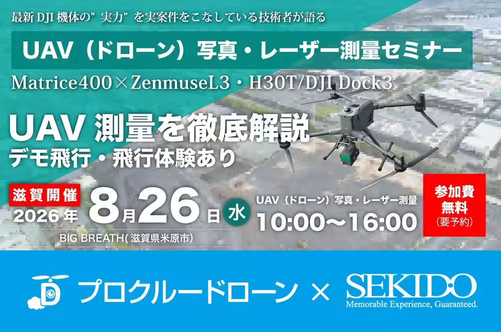
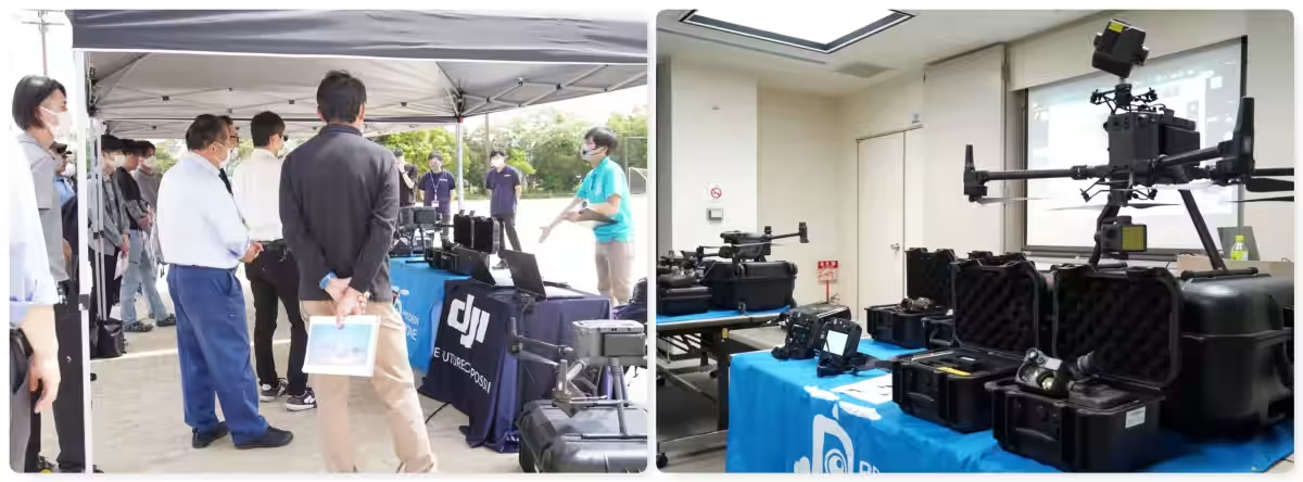
On August 26, 2026, a free seminar focused on UAV (drone) photo and laser surveying will be held at the ProCrew Drone Office, Big Breath in Maibara, Shiga. This event is hosted by Seikido Co., a recognized DJI dealer, and ProCrew Co., a leading company in the drone business, highlighting the integration of UAV technology in construction, civil engineering, and surveying fields.
Overview of the Seminar
The demand for efficient measuring of large areas and structures has increased due to the challenges of labor shortages and the adoption of ICT construction. UAV technology has emerged as an optimal solution for both photo surveying and LiDAR (laser) surveying. However, many organizations face decision-making delays due to uncertainties about which method to choose and what equipment is needed. This seminar aims to clear up these uncertainties.
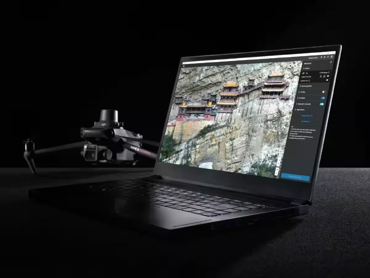
Participants will learn about the practical flow from planning to the production of results in UAV surveying through both theoretical lectures and live demonstrations. Key aspects such as site confirmation, flight planning, data collection, analysis, accuracy verification, and result generation will be covered. Attendees will also have the opportunity to compare the suitability of photo surveying versus laser surveying for their specific projects and explore required drone configurations and post-deployment operations.
Schedule and Content
The seminar consists of two main parts:
Morning Session: Lecture (10:00 - 12:00)
During the morning session, the speaker will introduce real-world case studies and results from UAV surveying. Key topics include:
- - Overview of the complete UAV surveying process.
- - Differences between photo surveying and laser surveying, including measurement principles, data types obtainable, suitable environments, and their respective advantages and disadvantages.
- - Methods for selecting the appropriate drone and sensors tailored to specific needs.
Afternoon Session: Demonstration & Lecture (13:00 - 16:00)
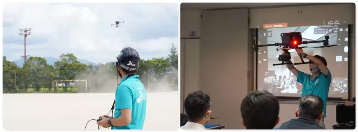
The afternoon will feature live demonstrations using:
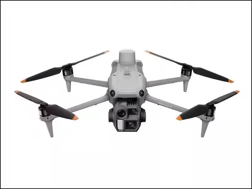
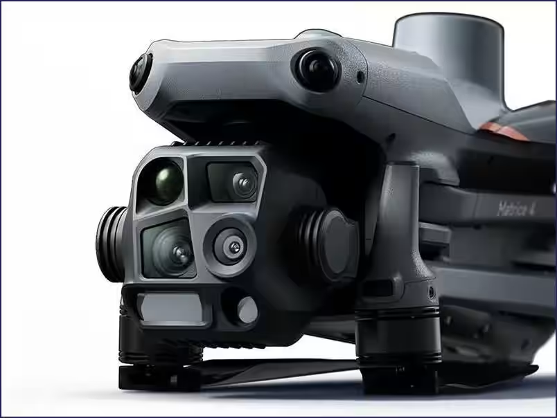
- - DJI Matrice 4E for photo surveying.
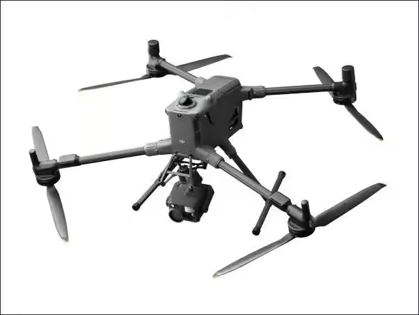
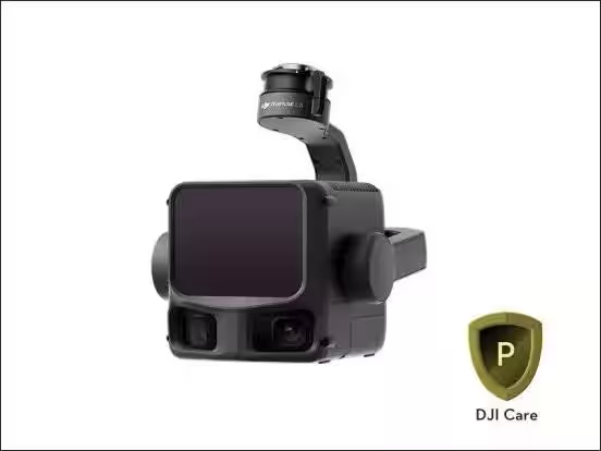
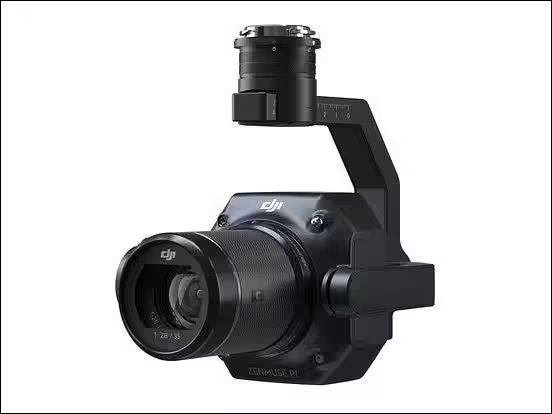
- - DJI Matrice 400 equipped with Zenmuse L3 sensors for laser surveying.
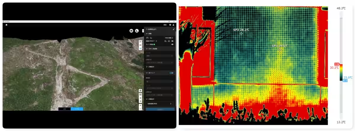
Participants will also view the processed data generated during the demonstrations, with live accuracy verification and comparison against manufacturer specifications.
Q&A and Individual Consultation
At the end of the seminar, participants can engage in a Q&A session and receive personalized consultations on various topics, including:
- - Drone selection for specific projects
- - Implementation costs
- - Operational methods and regulatory aspects
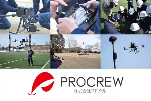
Further, those interested may experience operating an industrial drone through hands-on training, provided they meet the required qualifications.
Who Should Attend
This seminar is ideal for professionals in construction and surveying companies considering UAV photo surveying and UAV LiDAR surveying. It is also beneficial for individuals looking to understand the workflow from flight planning to analysis and verification. Government officials involved in disaster assessment or prevention and those wishing to inspect DJI drones, like the Matrice 4E, Matrice 400, or Zenmuse L3, will find this seminar particularly useful.
Event Details
- - Date: August 26, 2026
- - Time:
- Afternoon Session: 13:00 - 16:00
- - Location: BIG BREATH, Maibara, Shiga
- - Capacity: 20 persons (First-come, first-served)
- - Cost: Free
- - Organizer: ProCrew Co.
Conclusion
With over 21,000 participants in previous seminars, this event will certainly provide valuable insights into the practical applications of UAV technology in surveying and civil engineering. For more information and registration, please visit the provided link. Don’t miss this opportunity to enhance your understanding of drone technology in modern surveying practices.
Register Here


Topics Consumer Technology)
【About Using Articles】
You can freely use the title and article content by linking to the page where the article is posted.
※ Images cannot be used.
【About Links】
Links are free to use.