



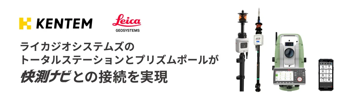
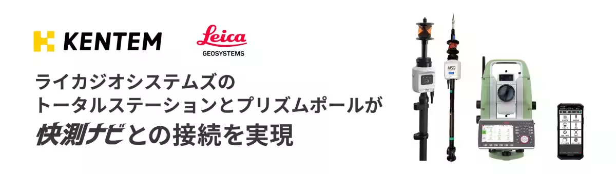
Leica Geosystems Enhances Surveying with KENTEM’s Latest App Integration
Enhanced Surveying Accuracy with Leica Geosystems and KENTEM
In the realm of surveying and construction technology, developments continue to emerge that address modern-day challenges. One such innovation hails from Leica Geosystems, a leader in measurement technology and part of the Hexagon Group. On August 24, 2026, they unveiled a vital integration with KENTEM's popular field surveying application, "Kaisoku Navi," marking a significant step forward in Japanese construction digital transformation.
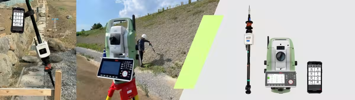
The latest version of Kaisoku Navi now supports Leica's cutting-edge Total Station, the Leica TS20, alongside the tilt correction-enabled prism pole, the Leica AP20 AutoPole. This integration allows users to leverage high-efficiency surveying capabilities, bolstering productivity on-site.
A New Workflow Supporting Japan's Construction DX
The construction and surveying sectors in Japan have been rapidly advancing towards digital transformation to not only counteract labor shortages but also to enhance productivity. Seamless integration of commonly used applications with high-precision measurement tools is crucial in achieving efficient workflows. With the incorporation of Kaisoku Navi, Leica Geosystems is paving the way for its advanced surveying technology to be utilized more readily across various job sites. This evolution aids in streamlining workflows from surveying to quality control during construction management, ensuring both efficiency and quality enhancements.
The Power of TS20 and AP20 AutoPole
The Leica TS20 is renowned for its high measurement accuracy and remarkable auto-tracking capabilities, designed to meet the demands of contemporary measurement practices. On the other hand, the Leica AP20 AutoPole, a smart prism pole equipped with tilt correction technology, stands out by eliminating the need for rigorous vertical pole maintenance during operation, which can be particularly advantageous in extreme working conditions. Utilizing the tilt correction data provided by the AP20 within Kaisoku Navi informs operators, allowing for swifter and more effective observation tasks without the constant need to check for precise vertical alignment using a bubble level.
Moreover, the versatility of the AP20 AutoPole extends beyond just the TS20. It can also be integrated with other systems such as the scanner-equipped total station Leica MS60 and the self-learning Leica TS16, enhancing adaptability within various working environments.
Commitment to the Japanese Market
This integration with Kaisoku Navi is part of Leica Geosystems' ongoing commitment to delivering innovative Swiss-based technology tailored to meet the unique needs of the Japanese market. The company remains dedicated to strengthening partnerships with local enterprises to push for the advancement of digital workflows in the construction and surveying sectors.
In a statement, Yuji Kuwano, President of Leica Geosystems, expressed his enthusiasm regarding this collaboration, stating, "We are thrilled to announce the realization of this integration with KENTEM's Kaisoku Navi. This solution is widely adopted in many construction and surveying sites, and we believe that the synergies between the Leica TS20 and AP20 AutoPole will significantly contribute to enhancing productivity and reducing workload on-site. Going forward, we will continue to align our innovations with the workflow and efficiency needs of our Japanese customers by providing cutting-edge surveying and digital reality solutions."
Product Information
Leica TS20
A high-performance total station designed for high-precision measurement, featuring seamless integration into digital workflows. Learn more.
Leica AP20 AutoPole
A smart prism pole equipped with tilt correction technology, enhancing efficiency and safety in field surveying. Learn more.
Related Information
Find more details about Kaisoku Navi's version upgrade on their official site. Check it out here.
Leica Geosystems – when precision matters. Over nearly two centuries, Leica Geosystems (part of the Hexagon Group) has transformed the field of measurement and surveying, continuously developing total solutions for professionals worldwide. Known for delivering innovative products and solutions, Leica earns trust across a spectrum of industries including aerospace, defense, security, construction, and manufacturing. With high-precision, reliable instruments and sophisticated software, Leica Geosystems aims to contribute significantly to societal advancement.
Topics Consumer Technology)
【About Using Articles】
You can freely use the title and article content by linking to the page where the article is posted.
※ Images cannot be used.
【About Links】
Links are free to use.