



Exploring the Benefits of Drones in Inspection and Surveying: Free Seminar in Nagoya
Discover the Future of Inspection and Surveying with Drones at a Free Seminar in Nagoya
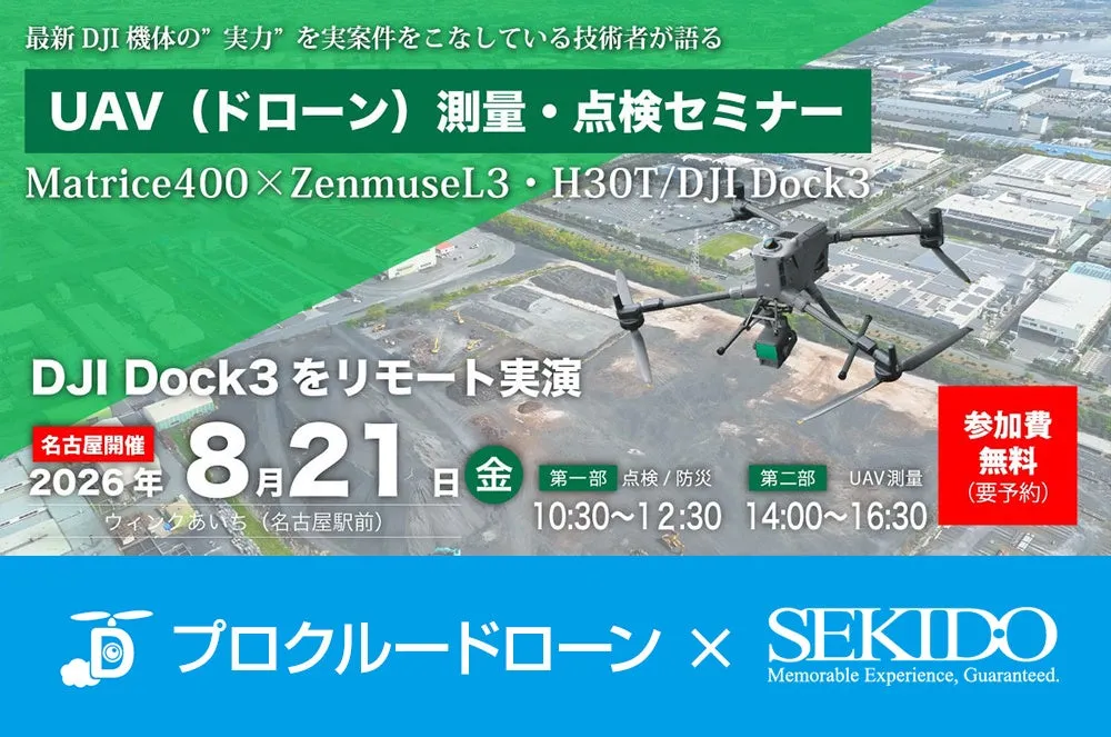
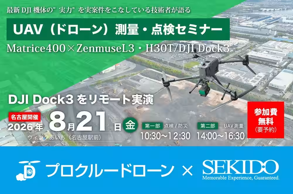
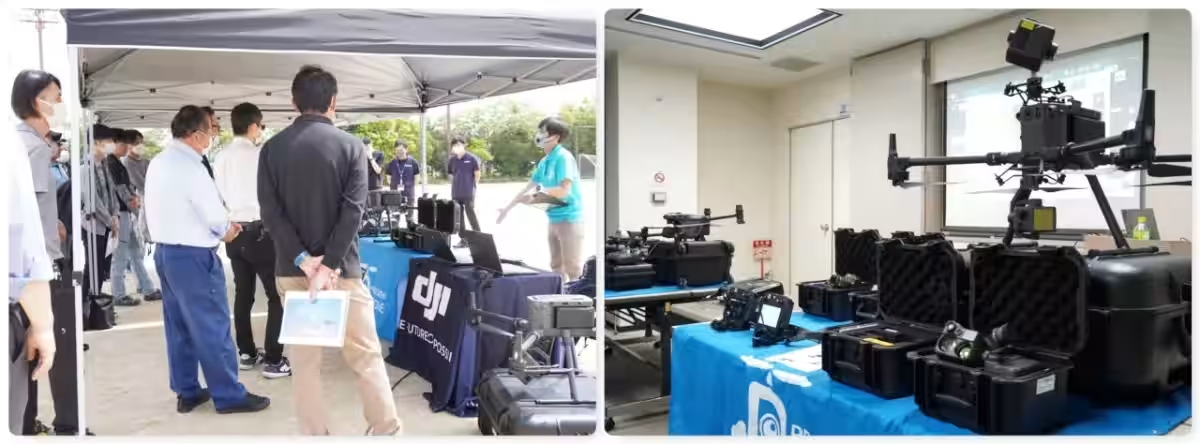
On August 21, 2026, a significant event for those in the construction, surveying, and inspection industries will take place in Nagoya. Organized by ProCrew in collaboration with Sekido, this free seminar focuses on the integration of Unmanned Aerial Vehicles (UAVs), specifically drones, in various surveying and inspection processes. As a certified DJI dealer, Sekido is at the forefront of drone technology, and this seminar aims to provide valuable insights into how these devices can revolutionize operational practices.
Addressing Industry Challenges
The introduction of drones in the construction and surveying sectors is becoming increasingly vital due to several challenges. Companies are striving to combat labor shortages, ensure safety at hazardous sites, reduce investigation time, and stabilize the quality of acquired data. Despite these pressing needs, many face difficulties in deciding which type of drone is best suited for their operations. Questions such as whether to utilize photogrammetry or LiDAR technology, along with how to effectively implement remote operations, can complicate the decision-making process.
The seminar will feature a comprehensive overview, showcasing real-life drone application cases alongside the data captured, all while elucidating operational methods, equipment selection, and providing solutions to unique challenges faced by attendees.
Seminar Structure
The event will be conducted in two parts across the morning and afternoon sessions:
1. Inspection and Surveying:
- (10:30 AM - 12:30 PM)
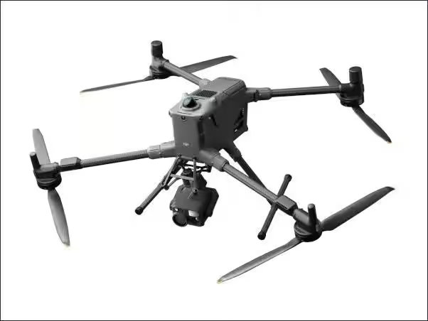
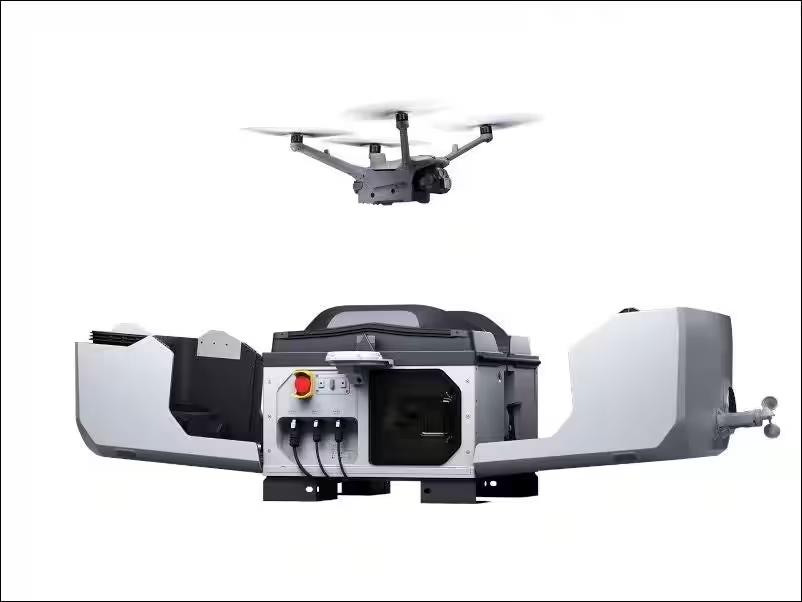
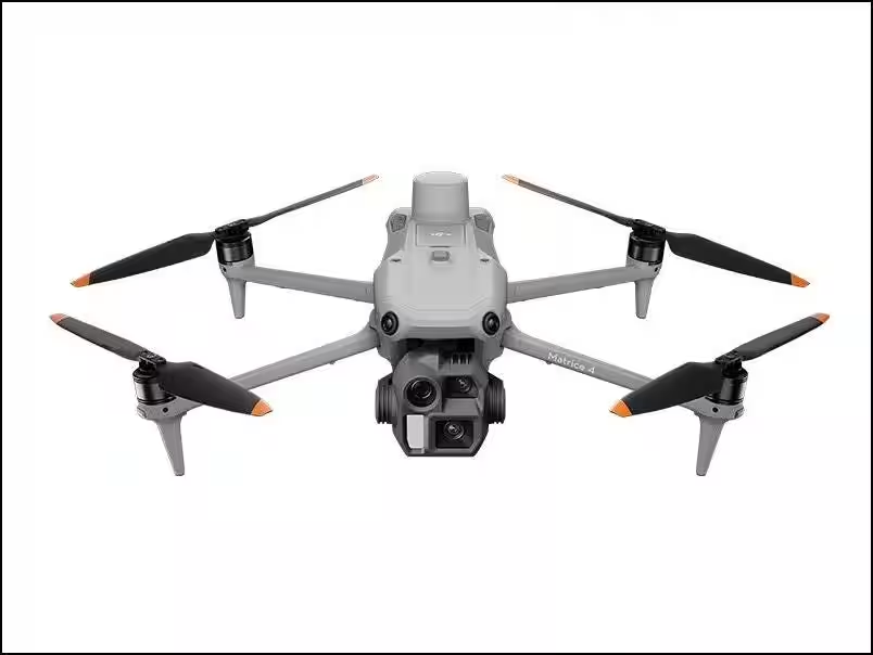
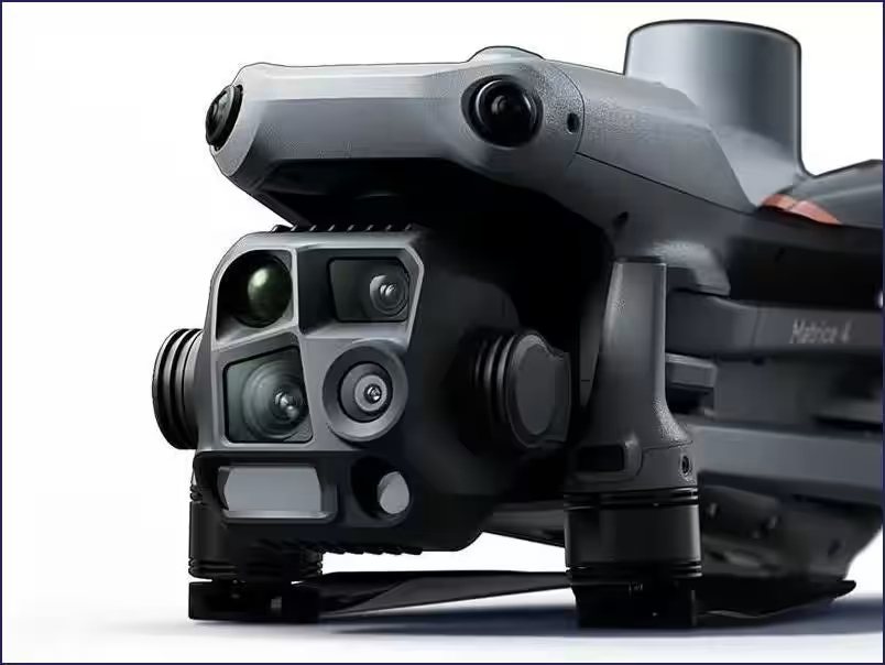
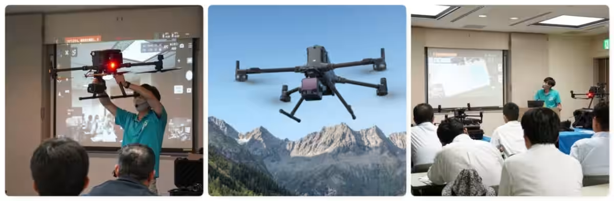
This segment will cover drone-assisted inspection methodologies. Participants can look forward to explanations of features that enhance safety and efficiency in inspection processes. Demo flights using the DJI Dock 3 and Matrice 4TD will exhibit how remote and automated flight operations can streamline routine inspections and monitoring tasks.
- Key topics to be discussed include:
- Case studies on structural inspections and disaster response
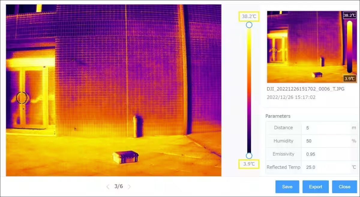
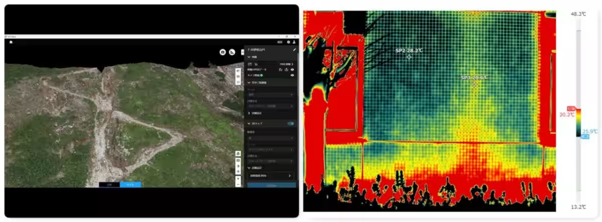
- Use of infrared cameras for anomaly detection
- AI-powered inspection support features
- Creation of automated flight inspection routes
- Selection of suitable drone models, regulations, qualifications, and insurance
- Q&A and individual consultation opportunities
2. UAV Surveying:
- (2:00 PM - 4:30 PM)
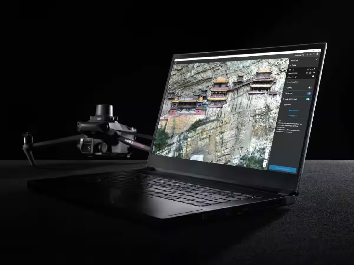
The second part will delve into the particulars of UAV photogrammetry and LiDAR surveying. This session aims to clarify the differences between the two methodologies, their appropriate usage, and data extraction differences. Attendees will also learn how to transform gathered images and point cloud data into valuable output formats such as 3D models and sectional drawings.
- Key topics include:
- Fundamentals of UAV surveying
- Comparative analysis of photogrammetry versus LiDAR
- Case examples from photogrammetric and laser surveying initiatives
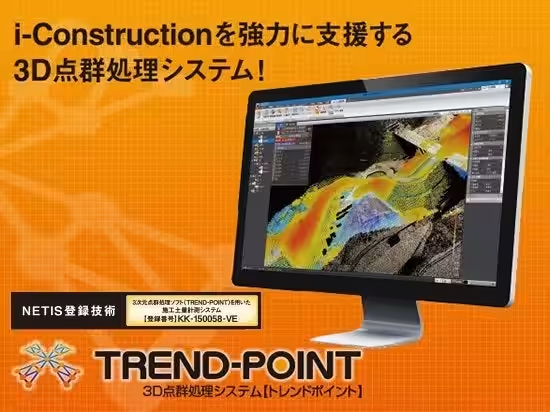
- Utilizing point cloud processing software
- Application examples and acquired data insights from LiDAR surveying
- Q&A and individual consultations
Remote Operation Demonstrations
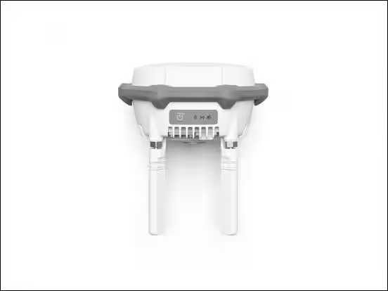
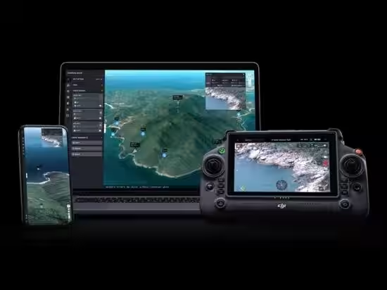
During the seminar, attendees will observe the DJI Dock 3 in action, a remarkable drone port that enables remote management of takeoff, landing, charging, flight, and data collection. Utilizing the Matrice 4TD for inspections and Matrice 4D for photogrammetry, the operational flow from remote control to completion will be thoroughly discussed, providing insights into reducing the need to physically visit sites for regular inspections and rounds.
Real Case Applications and Data
What sets this seminar apart is not just the focus on drone performance but also the real-world data acquired through practical applications. Attendees will be introduced to significant case studies illustrating the advantages of UAV LiDAR for situational measurements in disaster scenarios or creating contour lines and cross-sectional drawings without direct site entry, thereby enhancing on-site safety and operational efficiency.
Who Should Attend?
This seminar is tailored for:
- - Companies contemplating drone integration into their construction, surveying, or inspection practices
- - Those looking to discern the contrasts between UAV photogrammetry and UAV LiDAR technology
- - Operations aiming to enhance efficiency in high-altitude or infrared inspections
- - Individuals interested in remote and automated operations with DJI Dock 3
- - Professionals seeking guidance on selecting drone models, costs, qualifications, and insurance
- - Local governments and municipal officials considering drone applications in disaster investigation and risk management
- - Businesses exploring ICT constructions and point cloud data utilization
Event Details
- - Date: August 21, 2026
- - Time: Morning Session (10:30 AM - 12:30 PM), Afternoon Session (2:00 PM - 4:30 PM)
- - Location: Wink Aichi, Nagoya
- - Capacity: 20 participants on a first-come, first-served basis
- - Cost: Free
- - Organizer: ProCrew
For further information and registration (free of charge): Event Registration
Don't miss this chance to harness the power of drone technology and improve the operational efficiency of your business!


Topics Consumer Products & Retail)








【About Using Articles】
You can freely use the title and article content by linking to the page where the article is posted.
※ Images cannot be used.
【About Links】
Links are free to use.