Revolutionizing Drone Surveying with DJI Zenmuse L3 and FLIGHTS Software


Transforming Drone Surveying with New Technologies
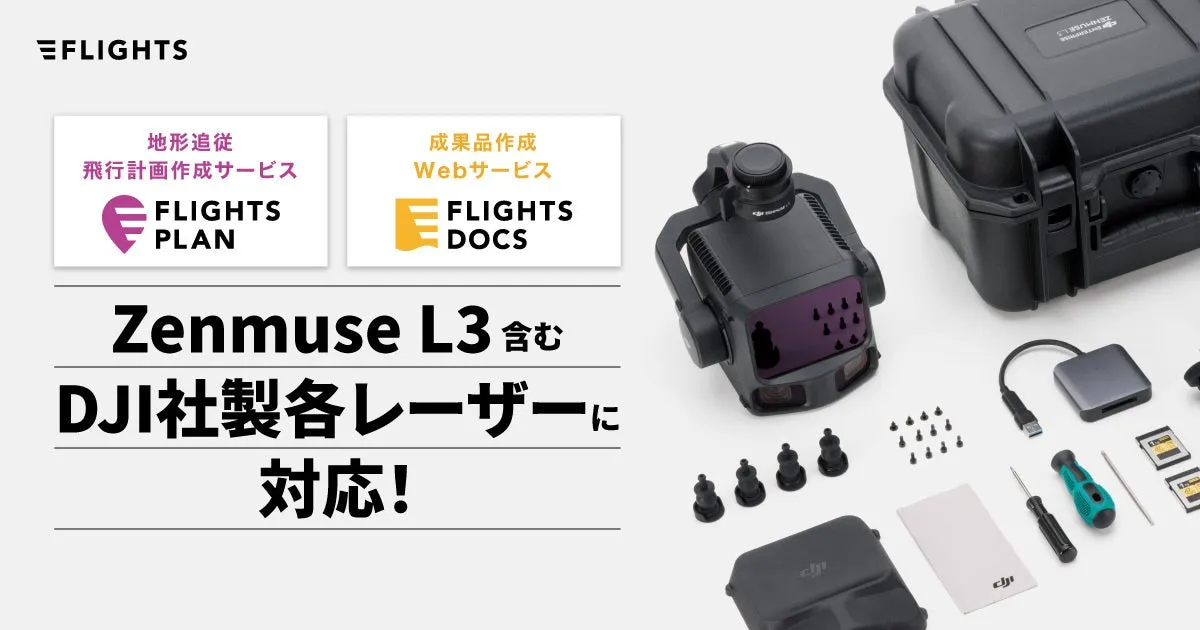
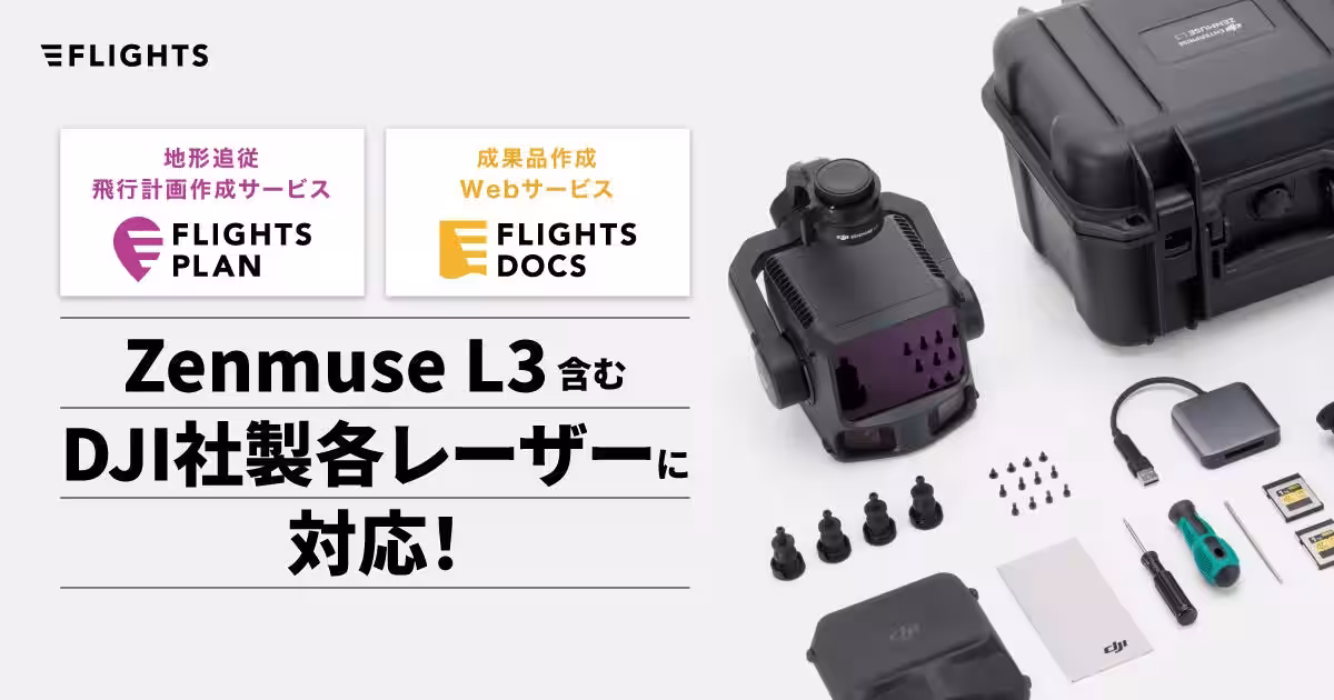
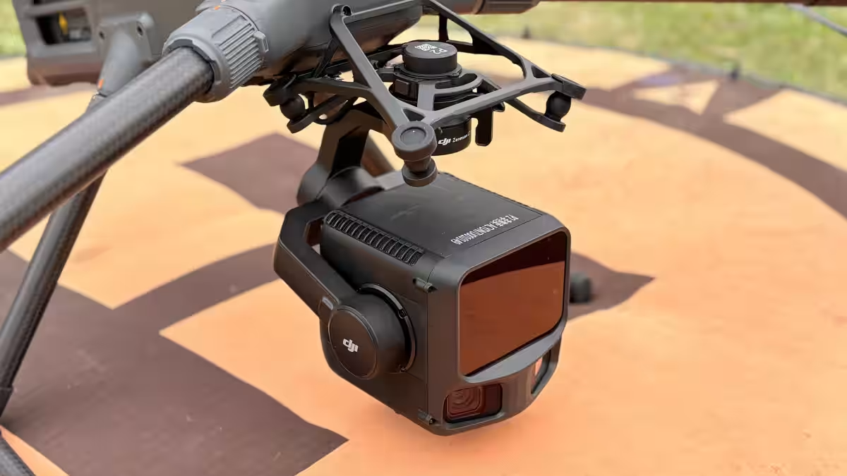
The release of DJI's innovative UAV laser product, the DJI Zenmuse L3, marks a significant advancement in drone surveying capabilities. Coupled with this cutting-edge drone are the powerful software tools FLIGHTS PLAN and FLIGHTS DOCS for UAV, developed by FLIGHTS, a technology startup based in Shibuya, Tokyo. These tools aim to streamline the surveying process, making it more efficient and user-friendly.
The Features and Benefits of FLIGHTS Software
FLIGHTS PLAN
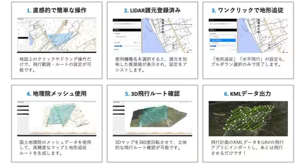
FLIGHTS PLAN is a web-based service designed with a focus on the needs of professionals in the field. This software significantly reduces the time and effort needed to create flight plans, potentially cutting down the usual two hours of work to as little as ten minutes under optimal conditions.
- - Time Efficiency: Test results have demonstrated a marked improvement, although actual time savings may vary based on specific tasks and methods used.
- - User-Friendly Interface: Being web-based, it is accessible and easy to use in various field situations.
FLIGHTS DOCS for UAV
FLIGHTS DOCS complements FLIGHTS PLAN by providing a service that helps users create essential documentation required for UAV laser surveying, in compliance with the regulations outlined in Japan's Surveying Law. The integration with FLIGHTS PLAN allows for smooth operation in generating necessary forms.
Key features include:
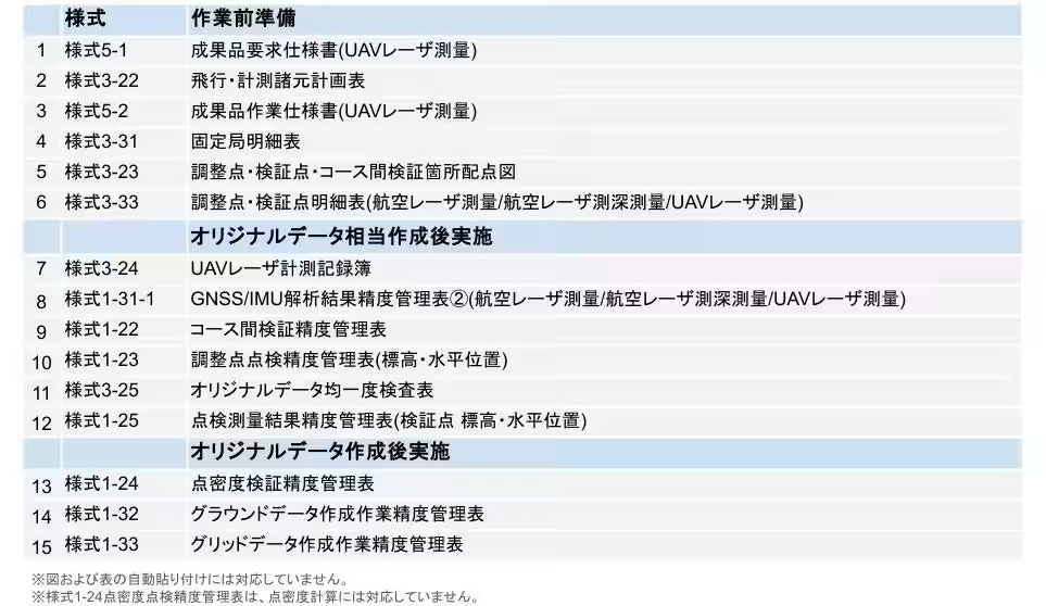
- - Automatic Generation: FLIGHTS DOCS can automatically create 15 different standard forms required for UAV operations.
- - Custom Templates: Users can download two types of equipment accuracy confirmation records and access twenty different templates to suit their specific needs.
- - Ease of Access: The software comes with sample templates that guide users through the creation process, ensuring that even those with limited experience can produce the required documents.
Upcoming Webinar on DJI Zenmuse L3
To showcase the capabilities of the DJI Zenmuse L3 along with FLIGHTS software, FLIGHTS is hosting a free online webinar titled “3D Surveying Webinar: Focusing on Drone Laser DJI Zenmuse L3”. The event will take place on November 11, 2025, from 1:00 PM to 2:00 PM JST.
Participants can expect a detailed introduction to the DJI Zenmuse L3, emphasizing its features and practical applications in various industries. This is an excellent opportunity for those involved in drone laser surveying or those interested in the latest innovations in this field. Registrations can be made through the provided link.
The Need for Efficiency in Drone Surveying
As the use of drone laser surveying continues to grow, so does the need for efficiency in data collection and processing. Many operators find that the tasks surrounding data acquisition remain time-consuming and labor-intensive. Through the development of FLIGHTS PLAN and FLIGHTS DOCS, FLIGHTS aims to alleviate these challenges and enhance the overall workflow in drone operations.
FLIGHTS has committed to advancing the digital transformation in the surveying and construction sectors, directly addressing the need to improve productivity among those maintaining Japan’s critical infrastructure. By integrating the DJI Zenmuse L3 with their innovative software, FLIGHTS looks towards a future where surveying can be performed faster, more accurately, and with less strain on resources.
About FLIGHTS
FLIGHTS specializes in enhancing efficiency in surveying through innovative technology, focusing on drone applications for civil engineering and construction projects. Their team consists of experts with extensive experience in business development and R&D within top construction consultancy and aerial surveying companies. They are dedicated to creating solutions that align with existing surveying practices, regulations, and community needs. Their flagship products include FLIGHTS SCAN, designed for LiDAR surveying, and FLIGHTS CONTROL, aimed at bridge inspection tasks.
For further inquiries or product specifications, please contact FLIGHTS at their official website: FLIGHTS Inc..

Topics Consumer Technology)
【About Using Articles】
You can freely use the title and article content by linking to the page where the article is posted.
※ Images cannot be used.
【About Links】
Links are free to use.