FLIGHTS Launches Pocket2: Next-Gen Mobile Laser Scanner for A Digital Future


FLIGHTS Unveils Pocket2: A New Era in 3D Scanning
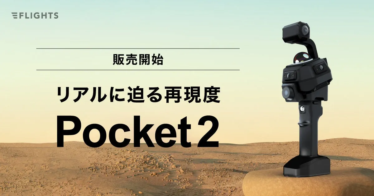
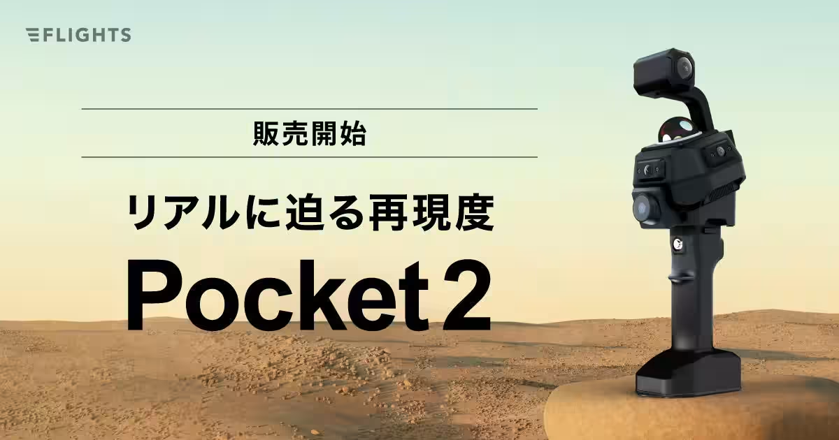
On September 4th, FLIGHTS Co., Ltd., based in Shibuya, Tokyo, officially launched the innovative mobile laser scanner known as Manifold Tech MindPalace Pocket2. This advanced device is set to revolutionize the way construction and surveying industries engage with 3D data. To mark this significant event, FLIGHTS is hosting a free online webinar on September 9th, where industry professionals can learn about the features and applications of Pocket2.
What is Pocket2?
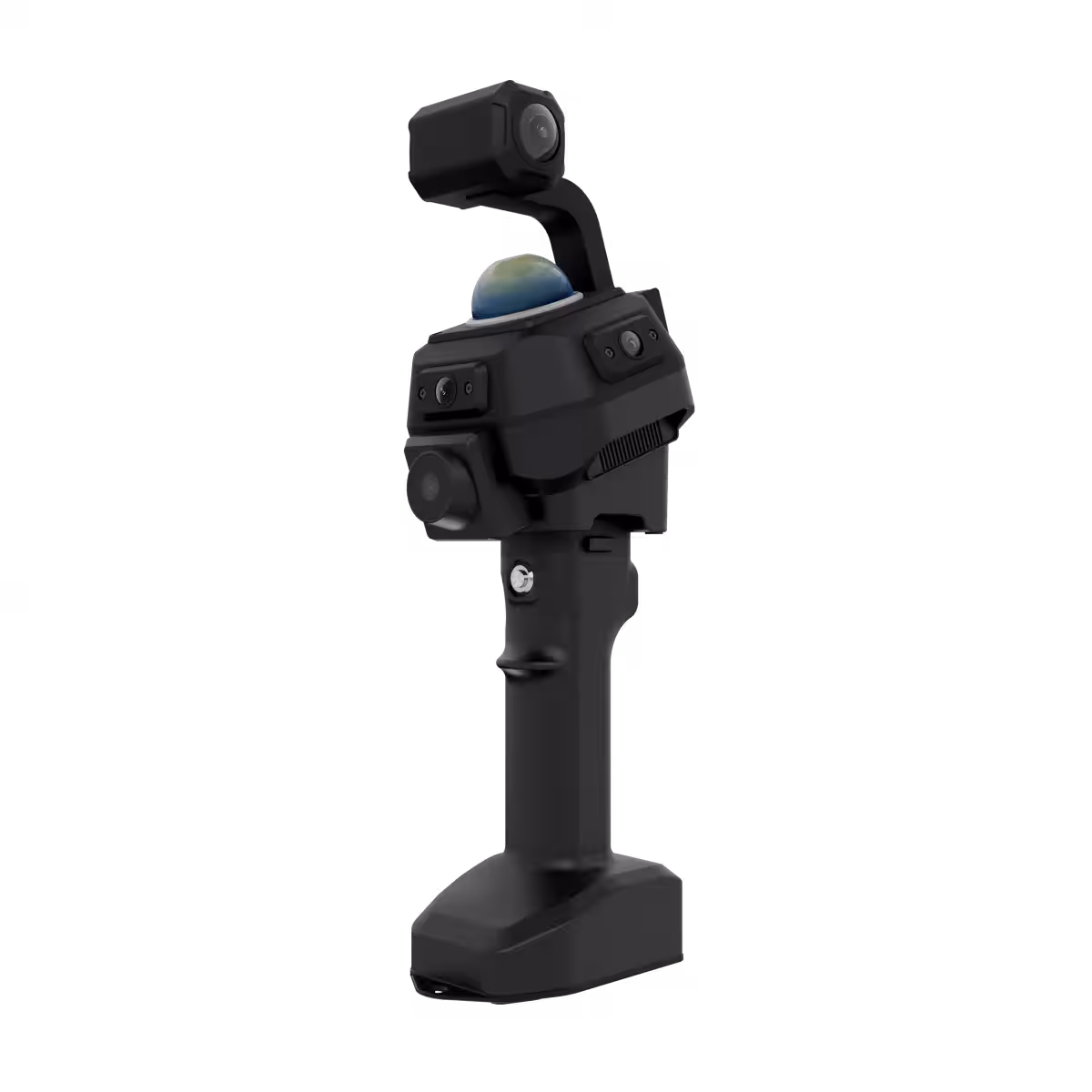
Pocket2 is a lightweight and intuitive handheld device designed to simplify the process of capturing high-precision 3D point cloud data. One of its standout features includes six specialized cameras that not only ensure accurate data collection but also reproduce the true colors of the scanned objects, achieving a visually stunning result that feels immersive.
The device employs a hybrid SLAM technology that integrates both laser and visual methods to enhance self-location accuracy. This means that even in challenging environments where GNSS signals are weak, users can rely on Pocket2 to provide consistent and high-quality data.
The Importance of 3D Data Collection in Various Industries
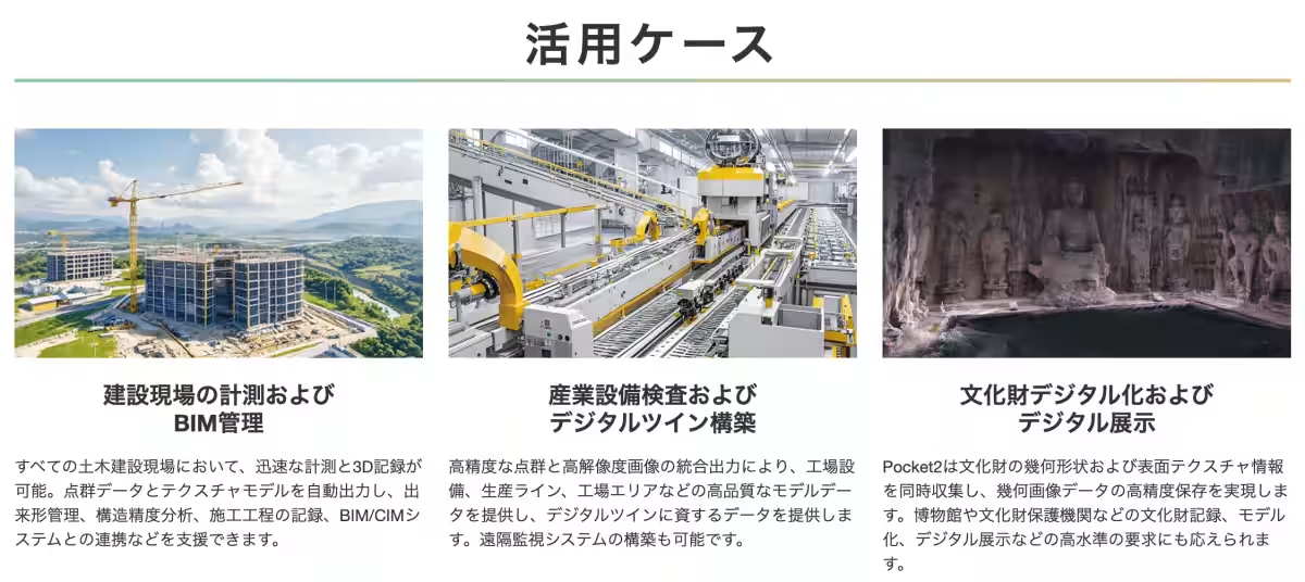
The construction, plant equipment, and real estate management sectors have increasingly recognized the value of 3D data. However, traditional laser scanners often require specialized knowledge, posing a barrier for professionals who are not experts in surveying or measurement. Pocket2 addresses this challenge by providing a user-friendly solution that democratizes access to high-precision data collection.
With Pocket2, users can effortlessly integrate 3D data into a variety of applications, from construction management and structural verification to BIM/CIM conversion and digital archiving of real estate assets. The applications for this technology are expansive, suggesting significant advancements in productivity across numerous industries.
Join the Webinar: Unlock the Secrets of Pocket2
To learn more about the capabilities of the Pocket2, interested parties are encouraged to participate in the upcoming online webinar. Scheduled for September 9th from 2:00 PM to 2:30 PM, this 30-minute session will delve into:
- - An overview and key features of Pocket2.
- - An introduction to the type of data it can collect.
- - Potential use cases across various industries.
The session will be led by Dr. Kashio, Executive Officer at FLIGHTS, and is aimed at professionals in the civil engineering and construction sectors, as well as architectural design/construction firms and real estate developers.
Register for the Free Webinar Here!
The Future of 3D Data Utilization
FLIGHTS aims to lower the barriers to obtaining 3D data, moving beyond the realms of surveying and construction to encourage its adoption in all areas where precise measurements are essential. By making the Pocket2 available, they hope to accelerate digital transformation (DX) and improve productivity in industry settings.
Key Features of Pocket2:
- - Six specialized cameras for true color reproduction.
- - Hybrid SLAM technology combining laser and visual inputs.
- - Compatibility with RTK and PPK for high-accuracy data acquisition.
- - Lightweight and user-friendly handheld design.
The Pocket2 represents a significant step forward in 3D technology, promising to impact everything from construction practices to asset management significantly. As industries continue to embrace digital tools, FLIGHTS stands at the forefront of this evolution, ready to empower stakeholders with innovative solutions.
For more information, visit the Pocket2 product site.
About FLIGHTS Co., Ltd.
FLIGHTS is a tech startup dedicated to increasing efficiency in the surveying field through innovative technologies such as drones. Founded by a team with extensive experience in business development and research in major construction consulting and airborne surveying companies, FLIGHTS aims to improve the quality of measurement outcomes while navigating the complexities of regulations and industry standards. Their main offerings include LiDAR solutions tailored for surveying and software for bridge inspection, showcasing their commitment to advancing the industry.
For inquiries about products and services featured in this release, please contact FLIGHTS at [email protected].

Topics Consumer Technology)
【About Using Articles】
You can freely use the title and article content by linking to the page where the article is posted.
※ Images cannot be used.
【About Links】
Links are free to use.