
Enhancing Surveying Efficiency with Drone Technology and SLAM at Free Nagasaki Workshop


Free Workshop in Nagasaki: Boosting Surveying with Drone and SLAM Technologies
On November 21, 2025, a complimentary CPDS-accredited workshop titled "Utilizing Drone Surveying Technology and Compact SLAM" will take place in Isahaya City, Nagasaki. This event, organized by the Nagasaki branch of Mizukami Yoko Co., features insights from experts at FLIGHTS, a technology startup dedicated to improving efficiency in surveying and measurement tasks.
Upcoming Workshop Details
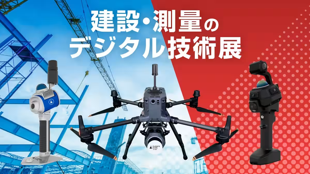
The workshop will be held in conjunction with the "Digital Technology Exhibition for Construction and Surveying" at Isahaya Cultural Center. It aims to support construction and surveying professionals by sharing cutting-edge methodologies designed to enhance on-site efficiency, reduce costs, and improve safety through the implementation of drone and SLAM technologies.
Why This Technology Is Essential Now
Within Japan's construction sector, particularly in the Kyushu region, the aging workforce presents significant challenges. Addressing labor shortages and advancing the digitalization of surveying and measurement tasks are critical to overcoming these hurdles. This workshop focuses on two transformative solutions: Drone Surveying Technology and Compact Lightweight SLAM, which enable accurate point cloud data acquisition even in confined spaces or indoor environments.
Key Learning Points from the Workshop
Participants will learn about practical approaches to utilizing drone and SLAM technologies to optimize surveying processes. Traditional surveying methods, which could take days to complete, can be expedited significantly by combining these technologies. This will not only streamline operations but also mitigate risks associated with challenging terrains, such as mountainous areas or sites with poor accessibility.
CPDS Credits Available
Participants will also have the opportunity to earn CPDS learning units (one unit expected) for participating in this workshop.
Expert Lecturers
The workshop will feature presentations from Satoshi Ishiyama, a licensed surveyor and engineer from FLIGHTS. His extensive background in spatial information and engineering will provide attendees with actionable insights from real-world experiences, moving beyond theoretical discussions to practical applications on the ground.
Event Summary for Media
- - Workshop Title: Utilizing Drone Surveying Technology and Compact Lightweight SLAM (CPDS accredited, 1 unit expected)
- - Organizer: Mizukami Yoko Co., Nagasaki Branch
- - Date and Time: November 21, 2025 (Friday), from 10:00 AM to 11:00 AM
- - Location: Isahaya Cultural Center, Nagasaki Prefecture, Japan (within the Digital Technology Exhibition venue)
- - Target Audience: Construction and surveying professionals in the region, personnel responsible for i-Construction advancement, and local government representatives.
- - Eligibility: Anyone interested in drone-based point cloud measurement and those curious about Compact Lightweight SLAM technology.
- - Registration Fee: Free
- - Speakers: Satoshi Ishiyama, FLIGHTS (Licensed Engineer, Surveyor, among other qualifications)
How to Register
To participate, please download the application form from the link provided and submit it by fax. Note that registration is required separately from attending the Digital Technology Exhibition.
- - Fax Registration Number: 095-844-4203 (Mizukami Yoko Co., Nagasaki Branch)
For additional details, visit the official event page: FLIGHTS Event Detail.
About FLIGHTS
FLIGHTS is a technology startup committed to enhancing efficiency and digitizing measurement processes in the construction sector, using advanced technologies like drones. With a team experienced in business development and research at major construction consultancy and aerial surveying firms, FLIGHTS designs solutions rooted in deep understanding of existing regulations and operational requirements in the field. Their flagship products include LiDAR solutions targeted at surveying needs, such as "FLIGHTS SCAN" and software for bridge inspections like "FLIGHTS CONTROL." Visit their official website for more information: FLIGHTS Inc..
For inquiries regarding products and services mentioned in this release, please contact FLIGHTS at the LiDAR Division via email: [email protected].

Topics Consumer Technology)
【About Using Articles】
You can freely use the title and article content by linking to the page where the article is posted.
※ Images cannot be used.
【About Links】
Links are free to use.